Menu
- Countries
 Apr 3, 2025
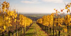
11+ Austrian towns to rival Hallstatt
 Jun 19, 2019
Feel the Bern
 Jun 12, 2019
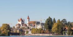
Fun in Thun: A pit stop on the way to Bern
 Jun 3, 2019
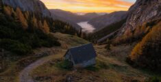
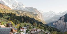
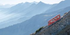
Wild and without money: Hiking Kleine Scheidegg
 Jan 13, 2020
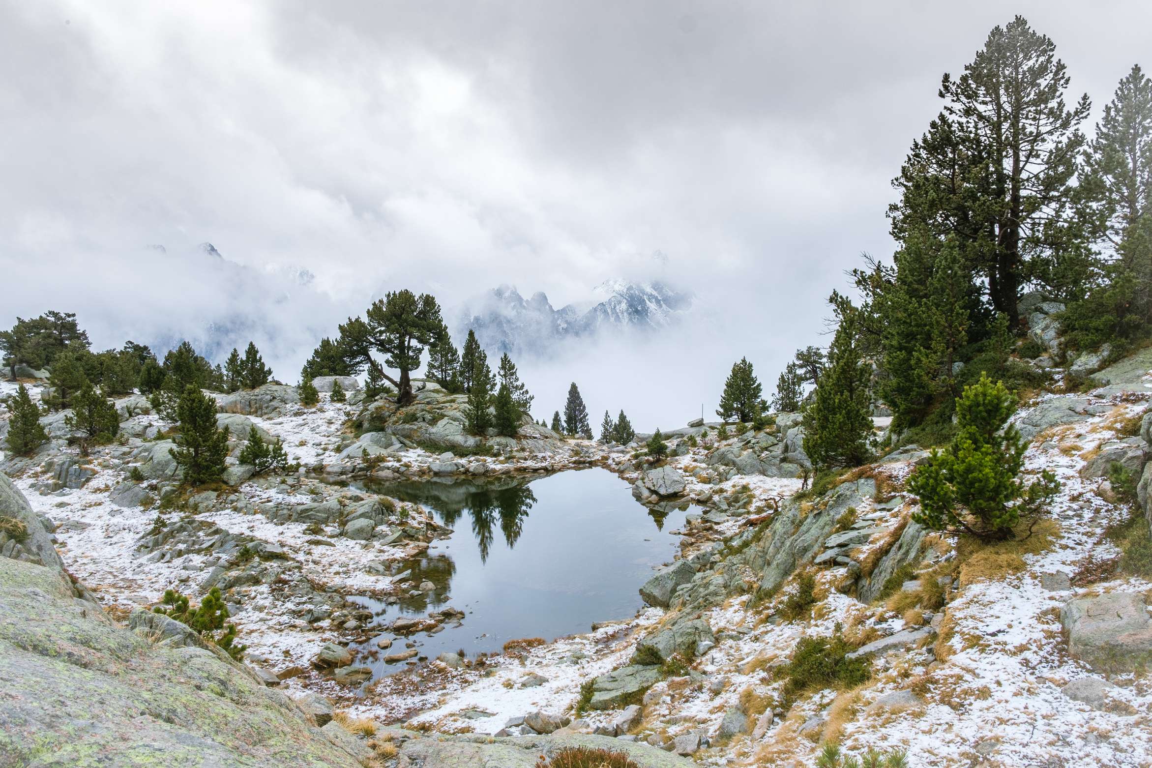
Nine wild rides to the Pyrenees
 Oct 17, 2019
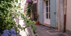
Wild and without the Alps: Camargue
 Jan 12, 2022
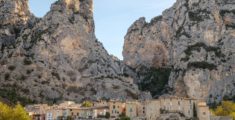
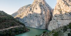
The wonders of Ronda: A bridge between the eras
 Feb 17, 2020
Wild and without enough time: Catalonia to Portugal
 Nov 6, 2021
City to sea: A day trip to Sintra
 Oct 18, 2021
Benagil to Faro: All along the Algarve
 Aug 16, 2021
Wild and without a campground: Lisbon to Benagil
 Sep 7, 2024
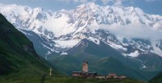
The top three destinations in Adjara, Georgia
 Jan 14, 2023
Mestia to Koruldi Lakes: Camping at 2700 meters
 Nov 17, 2022
Ushguli: 4 day hike from Mestia via Tsvirmi
 Oct 31, 2021
Black Rock Lake: 3 Day hike from Lagodekhi
 Aug 14, 2022
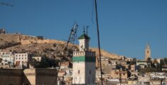
Madness in Marrakesh: The final leg
 Jun 25, 2022
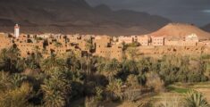
Merzouga: The Gateway to the Sahara Desert
- Categories
 May 11, 2022
17 locations for vintage Wes Anderson vibes
 May 9, 2022
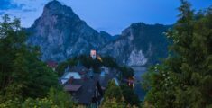
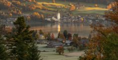
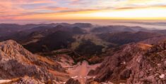
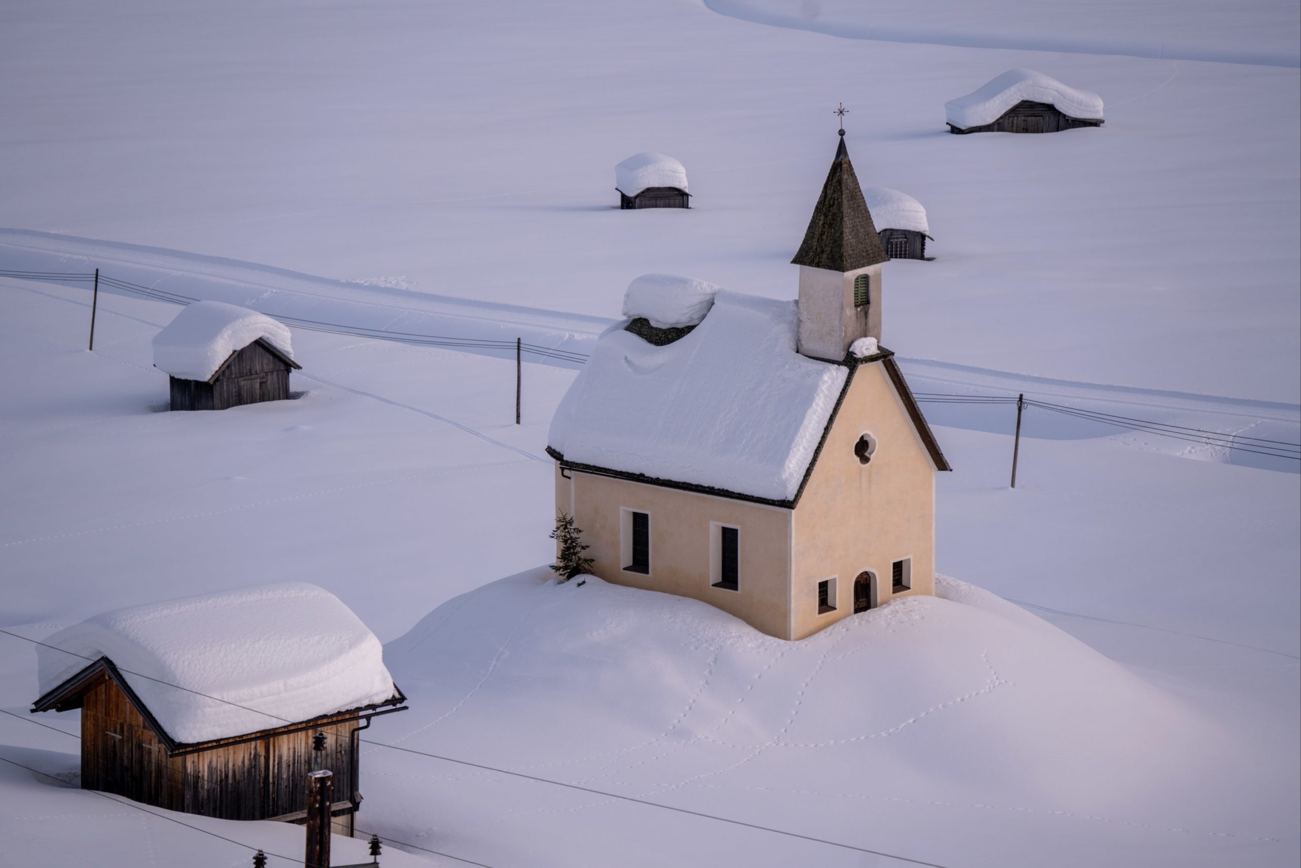
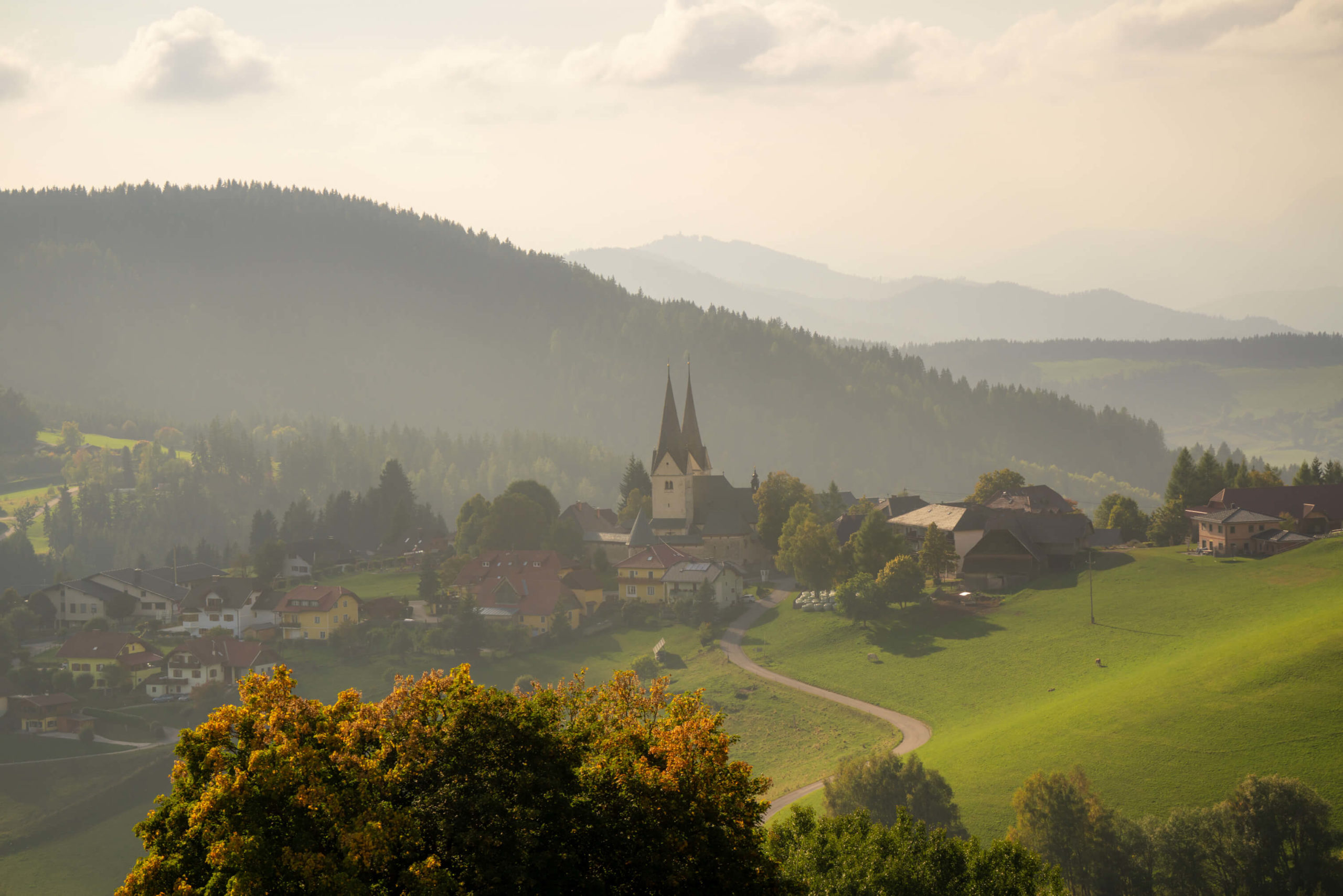
14 Gorgeous Churches in the Austrian Alps
Oct 18, 2021Benagil to Faro: All along the Algarve
Aug 16, 2021Wild and without a campground: Lisbon to Benagil
Feb 17, 2020Wild and without enough time: Catalonia to Portugal
Sep 7, 2024The top three destinations in Adjara, Georgia
Jan 14, 2023Mestia to Koruldi Lakes: Camping at 2700 meters

The most beautiful winter hiking trails in Carinthia: Part 1
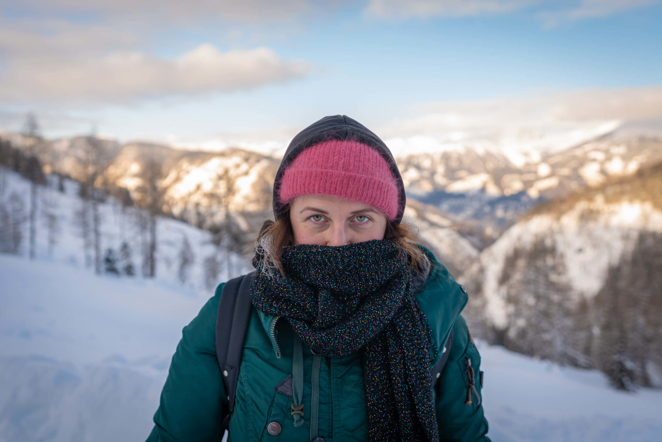
We spent a whole winter in Carinthia during lockdown and what better way to alleviate the stresses of the pandemic and world in general than enjoying the beautiful outdoors? Carinthia has a great deal to offer when it comes to landscapes, hiking opportunities, skiing and in general all adventure sports including winter walking. Winter 2020 /21 was a particularly snowy winter and it was important to us to experience it to the fullest.
The information we needed isn’t so readily available, most certainly not to non-German speakers, so we decided it would be the perfect opportunity to share our learnings, our favourite trails and our favourite pictures from the magnificent mountains of Carinthia. Kärnten for the Austrians and German speakers.
During the winter of 2020/21 we travelled from east to west and north to south to find the best places in Carinthia. Along with showcasing our favourite locations, we’ll show you how to get there, hiking facts (distance, elevation and so on), popularity, how to get around and what kit you will need. Unfortunately, your best option here is a car. Whilst public transport and trains are good in Carinthia, getting to the trail head is almost impossible without a car. However, where possible, we’ll give you the details.
All of these hikes will require good cold weather clothing and hiking shoes in the winter. Snow shoes would make all of them easier, alas the winter of 2020/21 is known in Austria as the winter of the great snow shoe shortage – because of the long lockdown, people were buying up all the stock and it was impossible to get any.
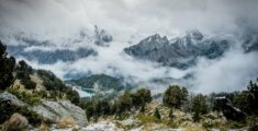
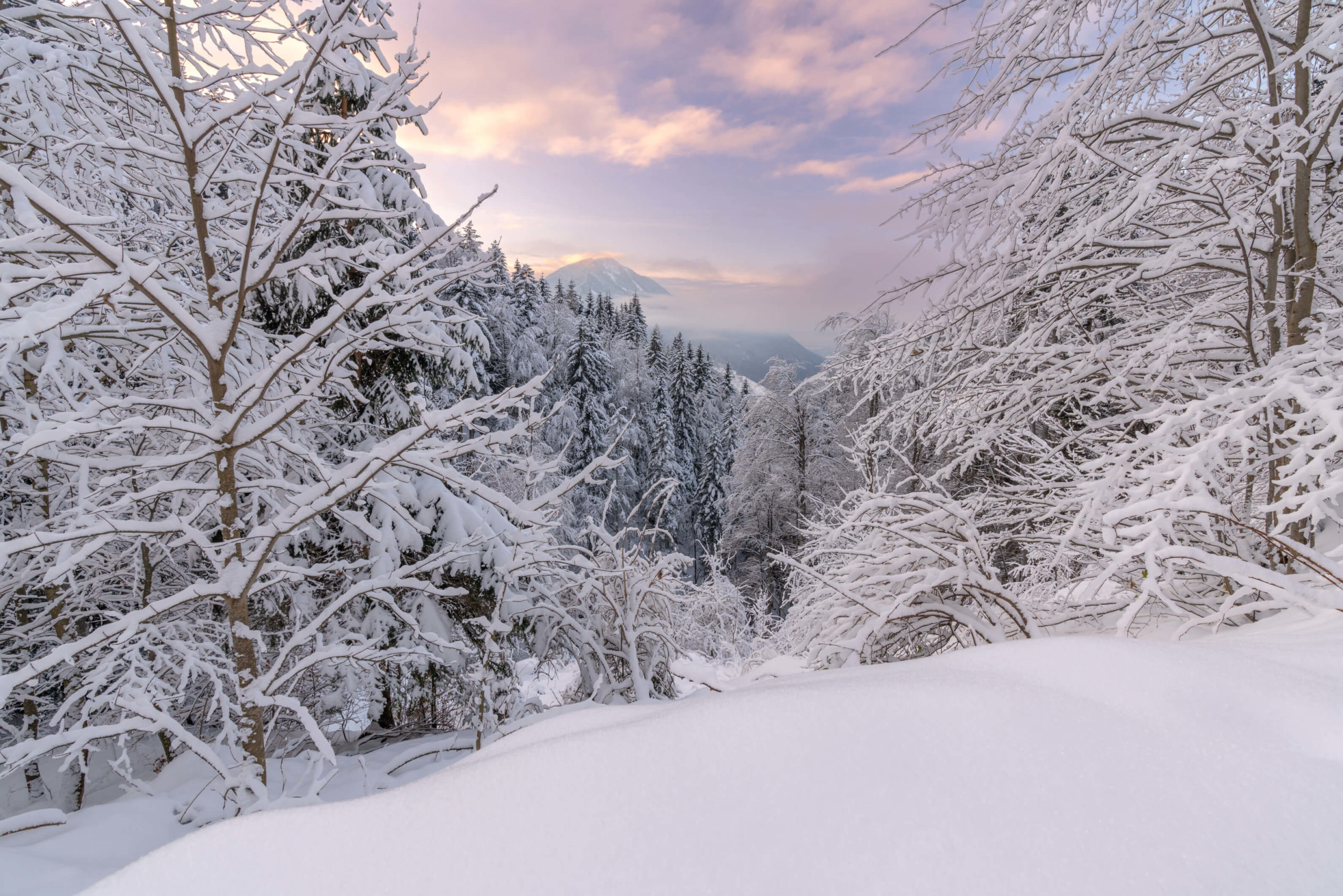
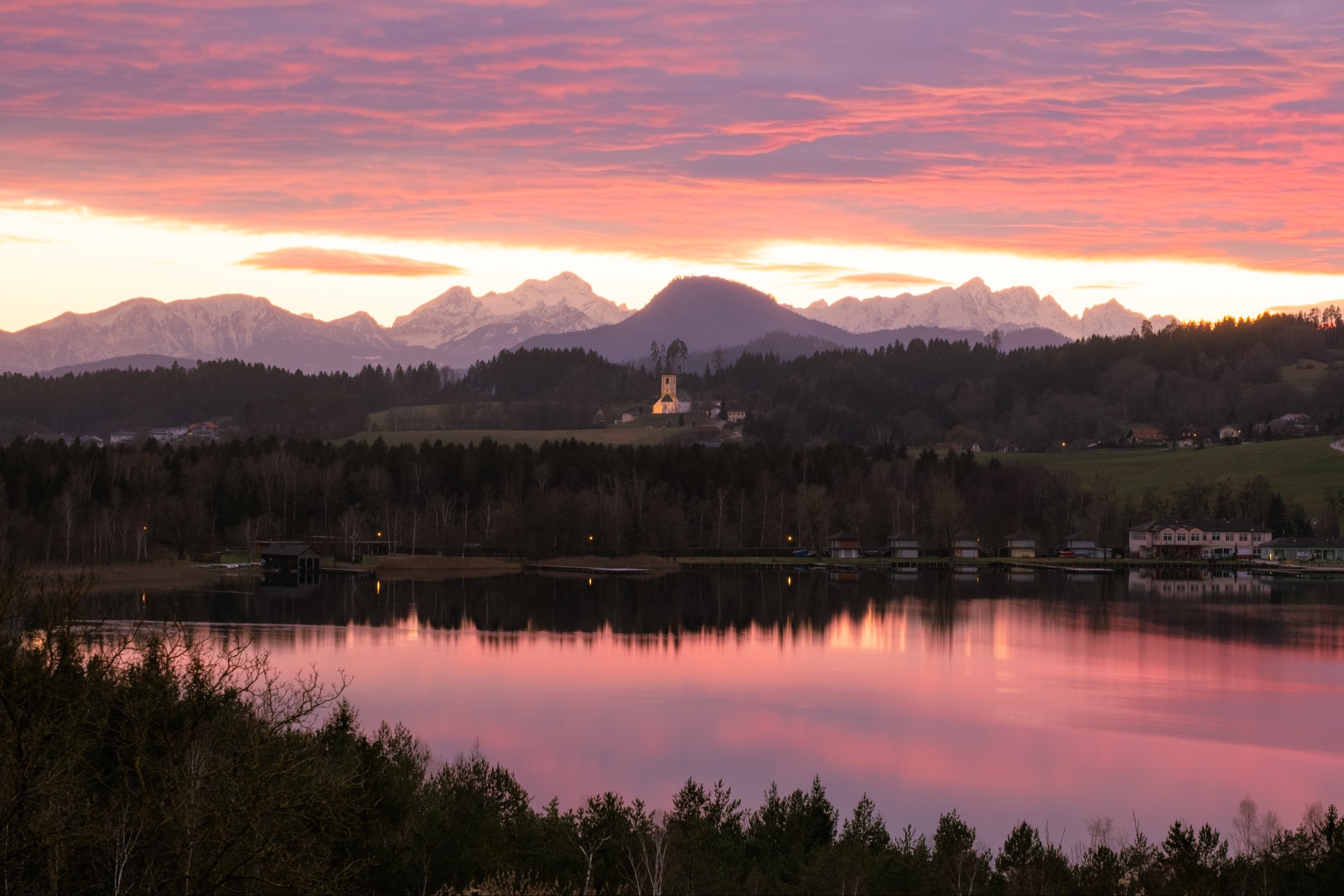
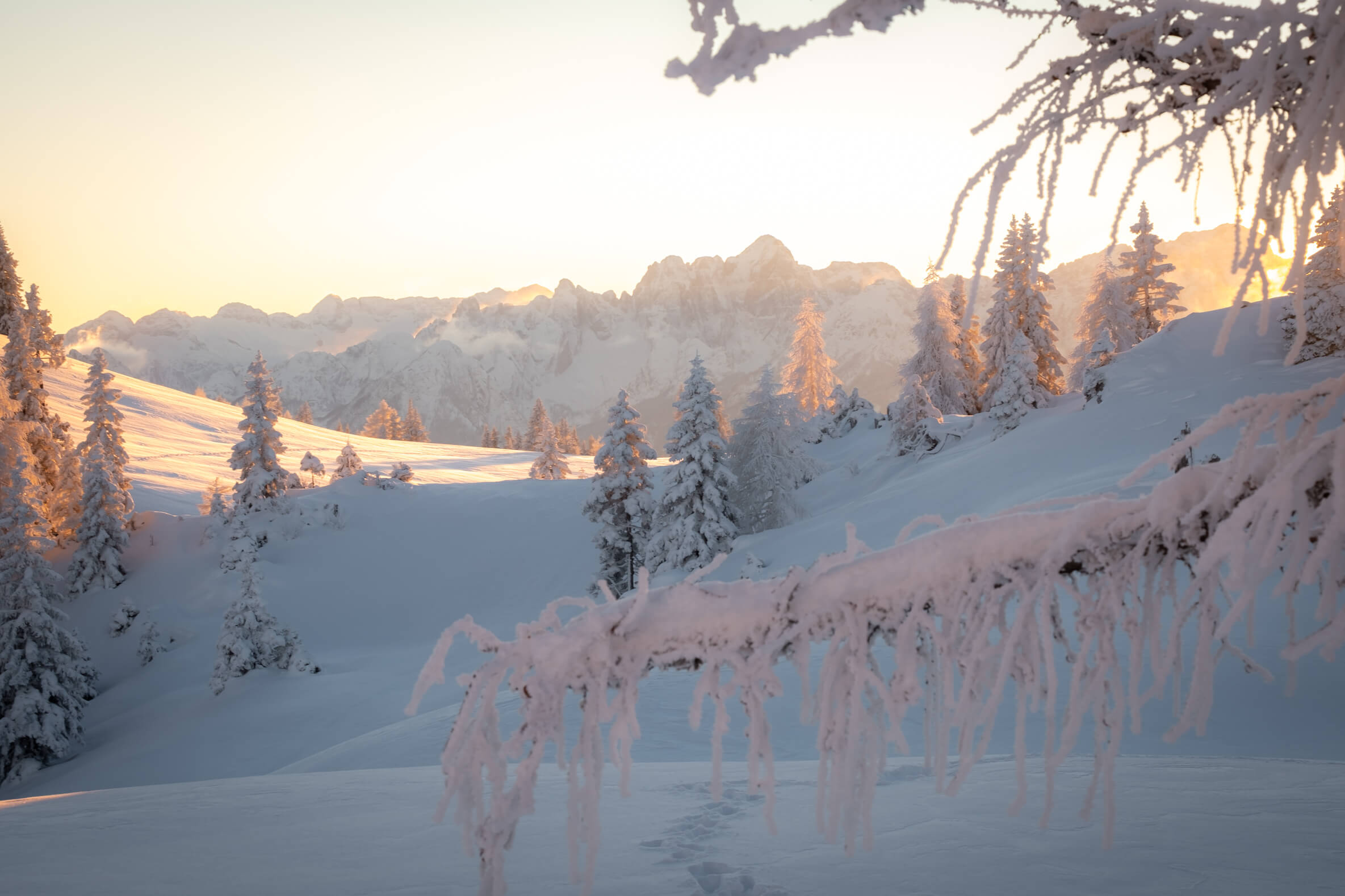
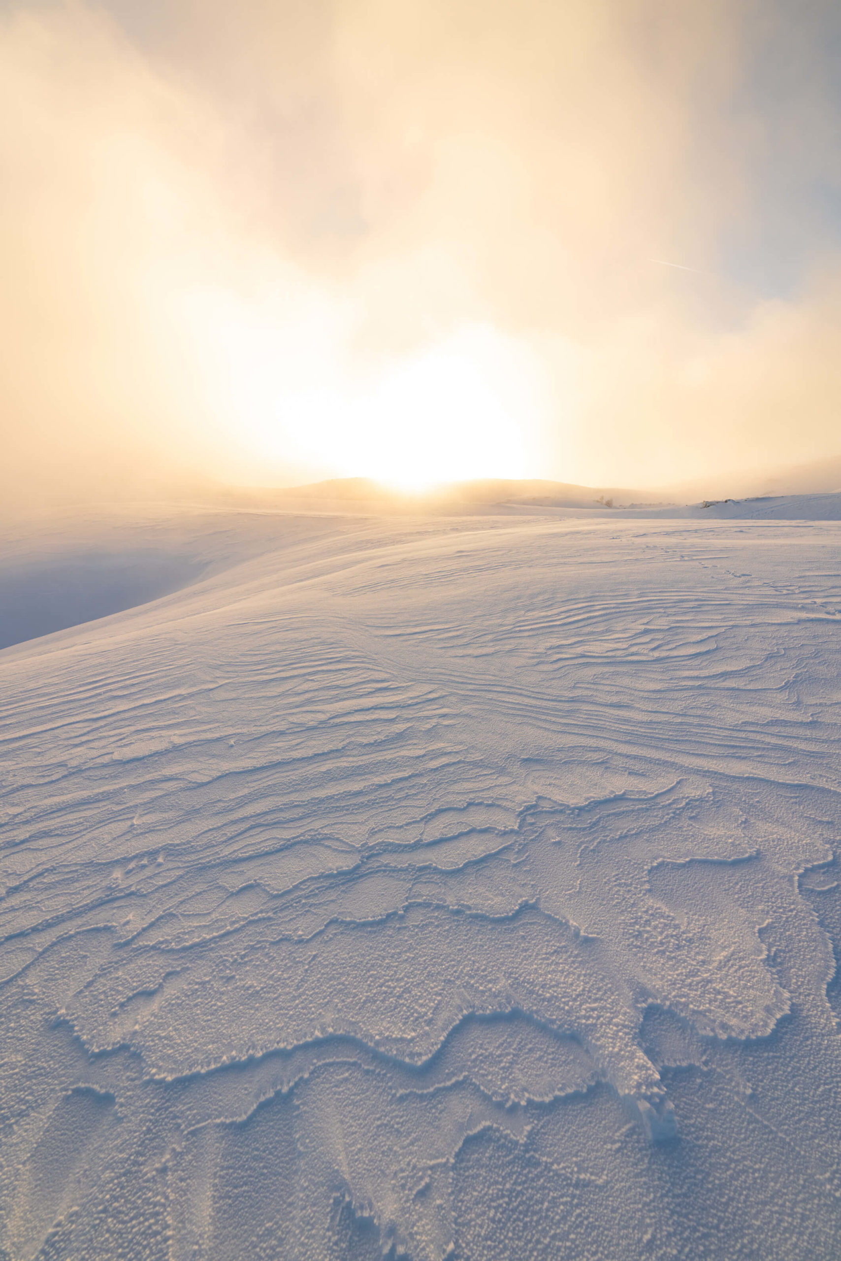
1. Magdalensberg Loop, Sankt Veit an der Glan
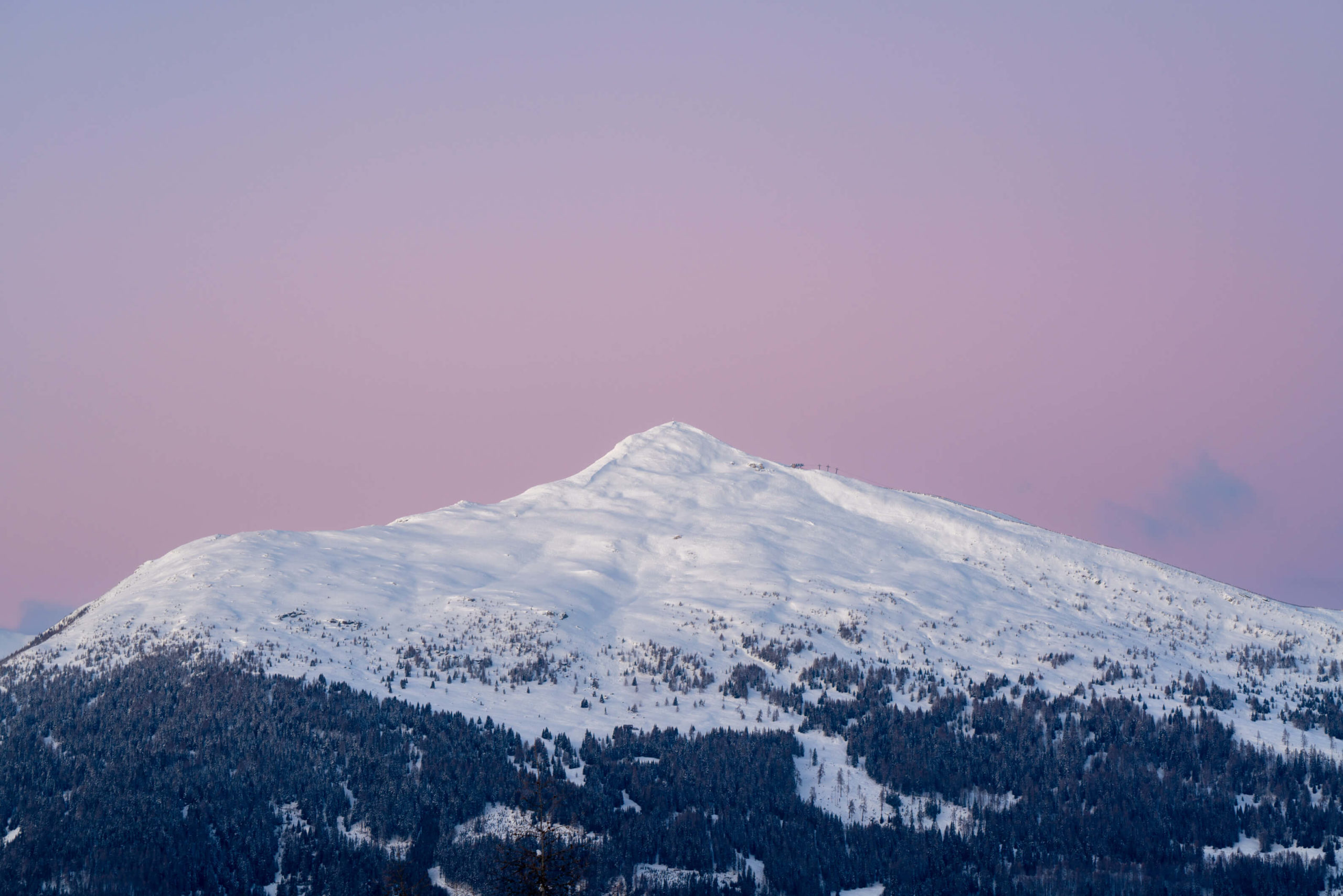
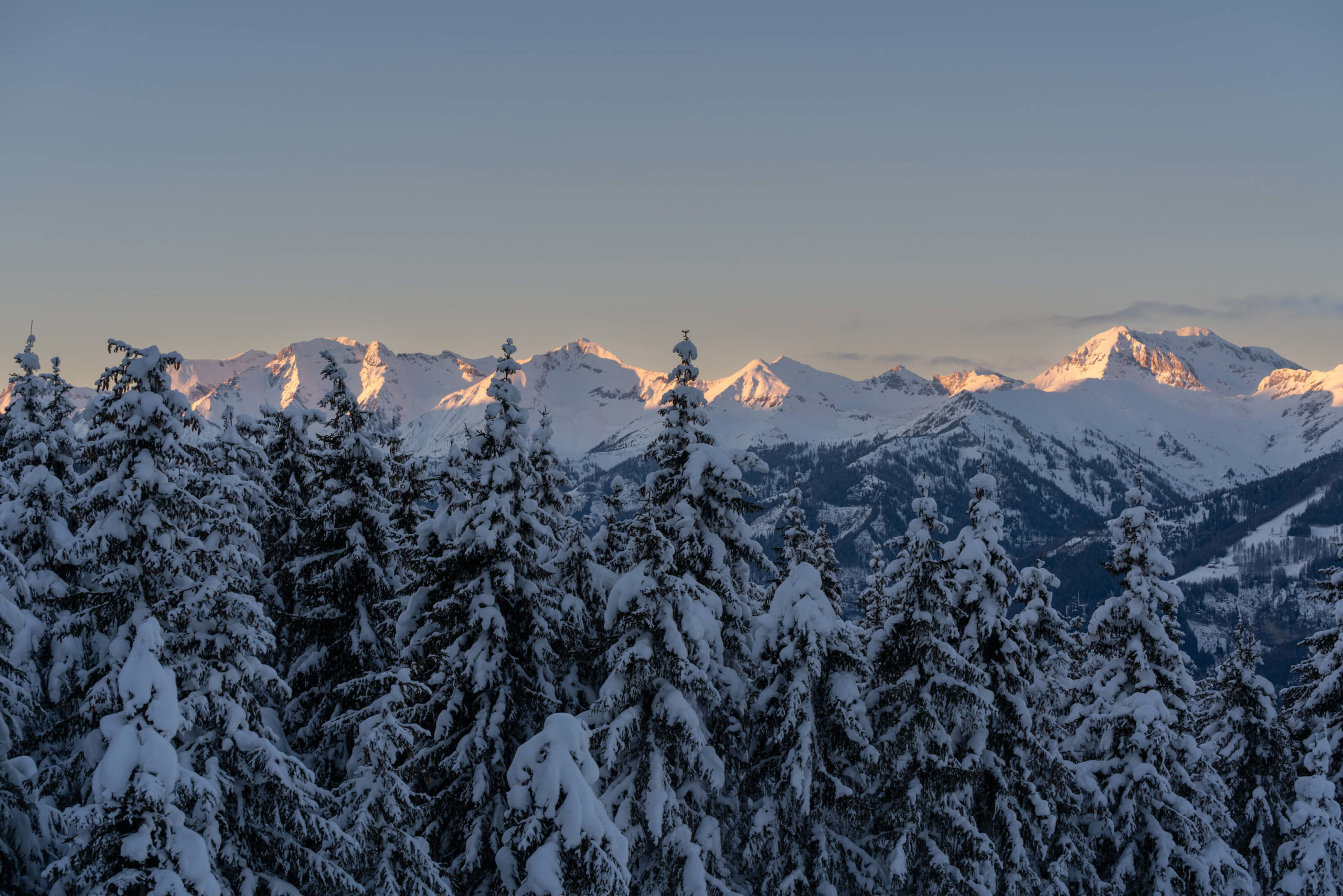
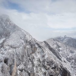
Incredible views on to Hochosterwitz and the Karawanken from the top of Magdalensberg. This hike is always a treat and if you visit during sunrise or sunset you will experience immeasurable beauty. During the winter you can often find Magdalensberg peeking through a sea of clouds, majestically floating above the valley floor.


Info
Hike description & GPX:
https://www.bergfex.com/sommer/kaernten/touren/wanderung/63461,magdalensberg-rundwanderung/
Difficulty: Easy – Medium
Time: Shorter variation: 2 hours, Full loop: 3 ½ hours
How to get there: We usually park the car by the side of the road.
Variation: From the trail head in Sankt Sebastian you can take the shorter route to the top of Magdalensberg and return the same way instead of doing the loop. This is quite often the route we take.
Kit: I’ve done this trail many times with no hiking sticks or snow shoes in thick snow. Sometimes it was not so easy and therefore you might benefit from hiking sticks at the very least since some parts can be icy and a little steep.
Description
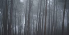
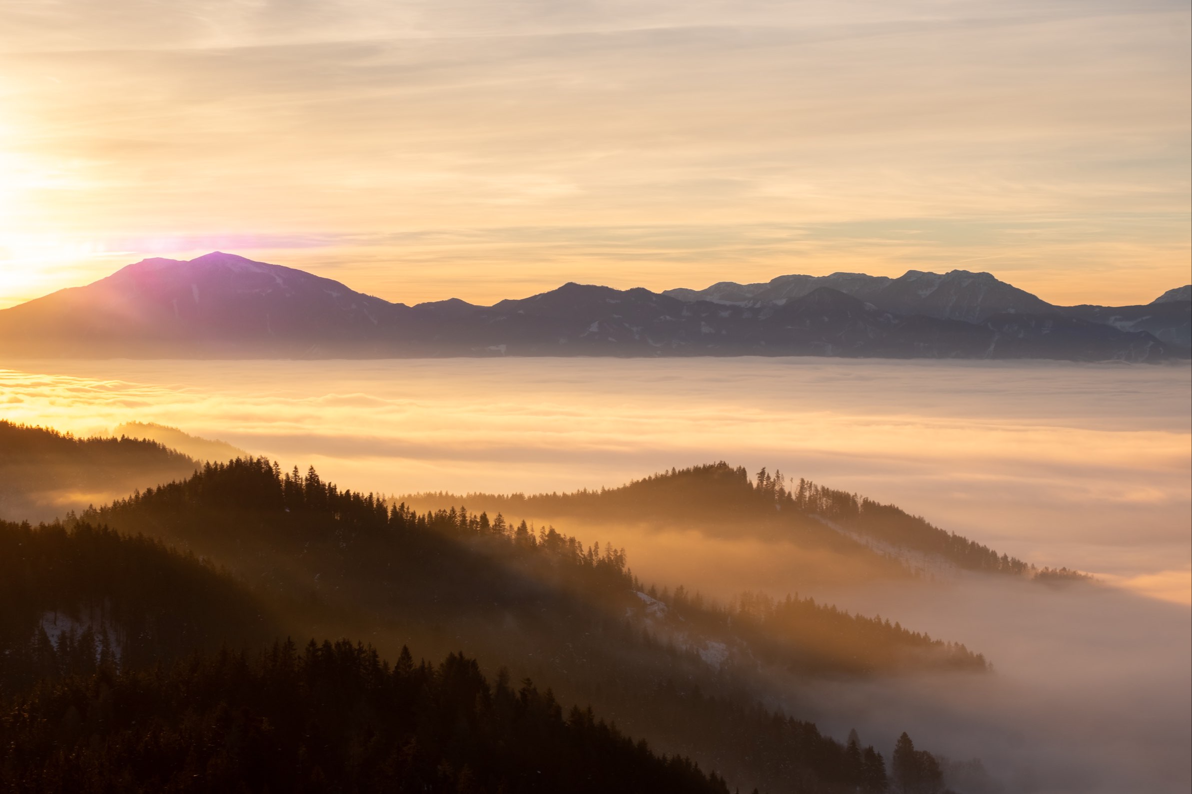
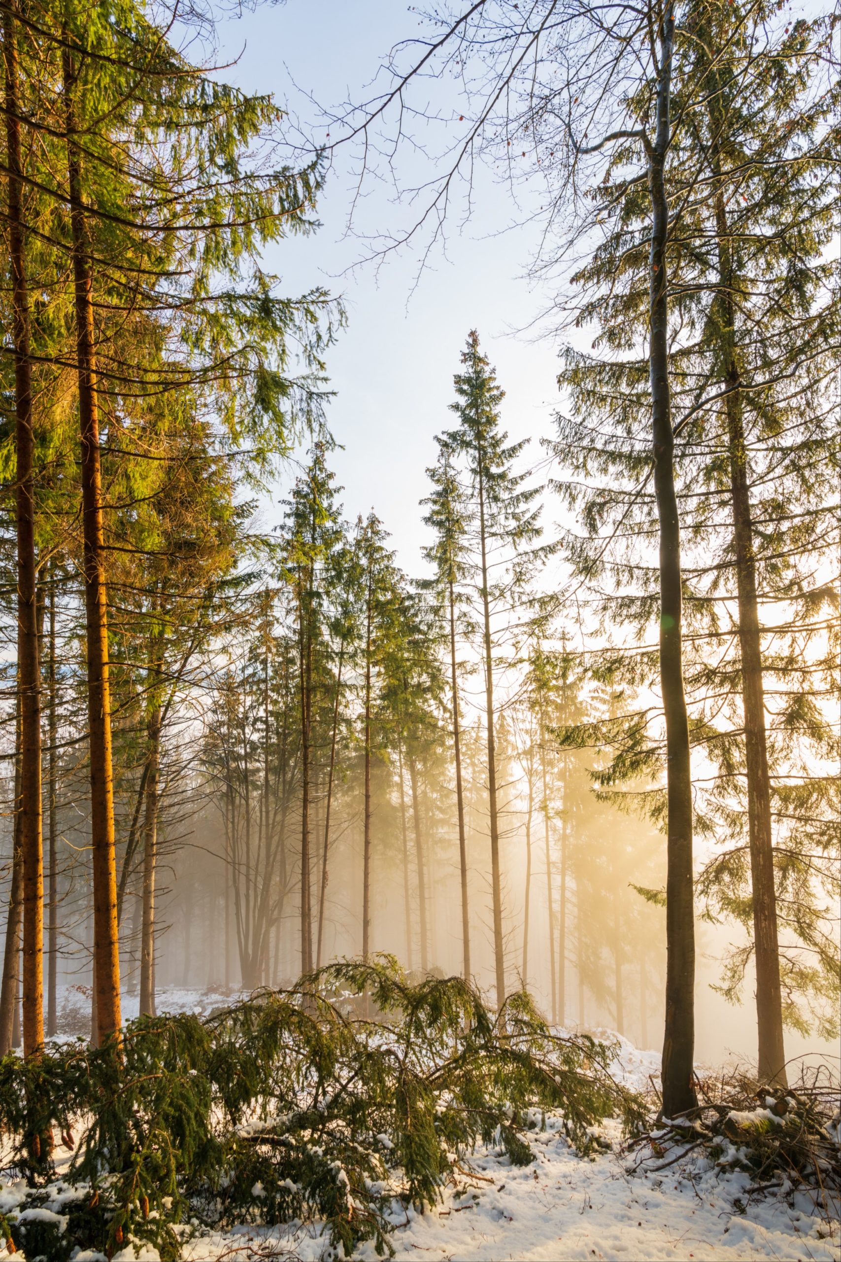
This is a great circuit for the views on Hochosterwitz, quite often I use this trail as a starting point to photograph the area at sunrise or in the evening. The views on to Hochosterwitz are just incredible, especially when the valley is full of fog. The forests are also beautiful.
The trail starts by following a dirt road until it reaches the forest edge where you will slowly begin to ascend. After a short while you will reach a clearing where you will pass an old farm house. Here you will find wonderful views of Hochosterwitz castle. Follow the path along the edge of the forest and just as you pass a cattle shelter you will once again enter the forest via a gate. Near to this shelter, just off the trail is where I shot this snowy picture of Hochosterwitz.
From here the trail gradually ascends towards Magdalensberg. After 30 minutes or so you will reach the final ascent through the forest which is a little steep but very pretty, especially in the winter. As you reach the top you will cross a stile and exit the forest on to the top of Magdalensberg, from here it’s a five minute walk to the hotel and restaurant.
The food is great at Magdalensberg but it’s quite often very busy, even in the winter. The views of the Karawanken mountains are incredible.
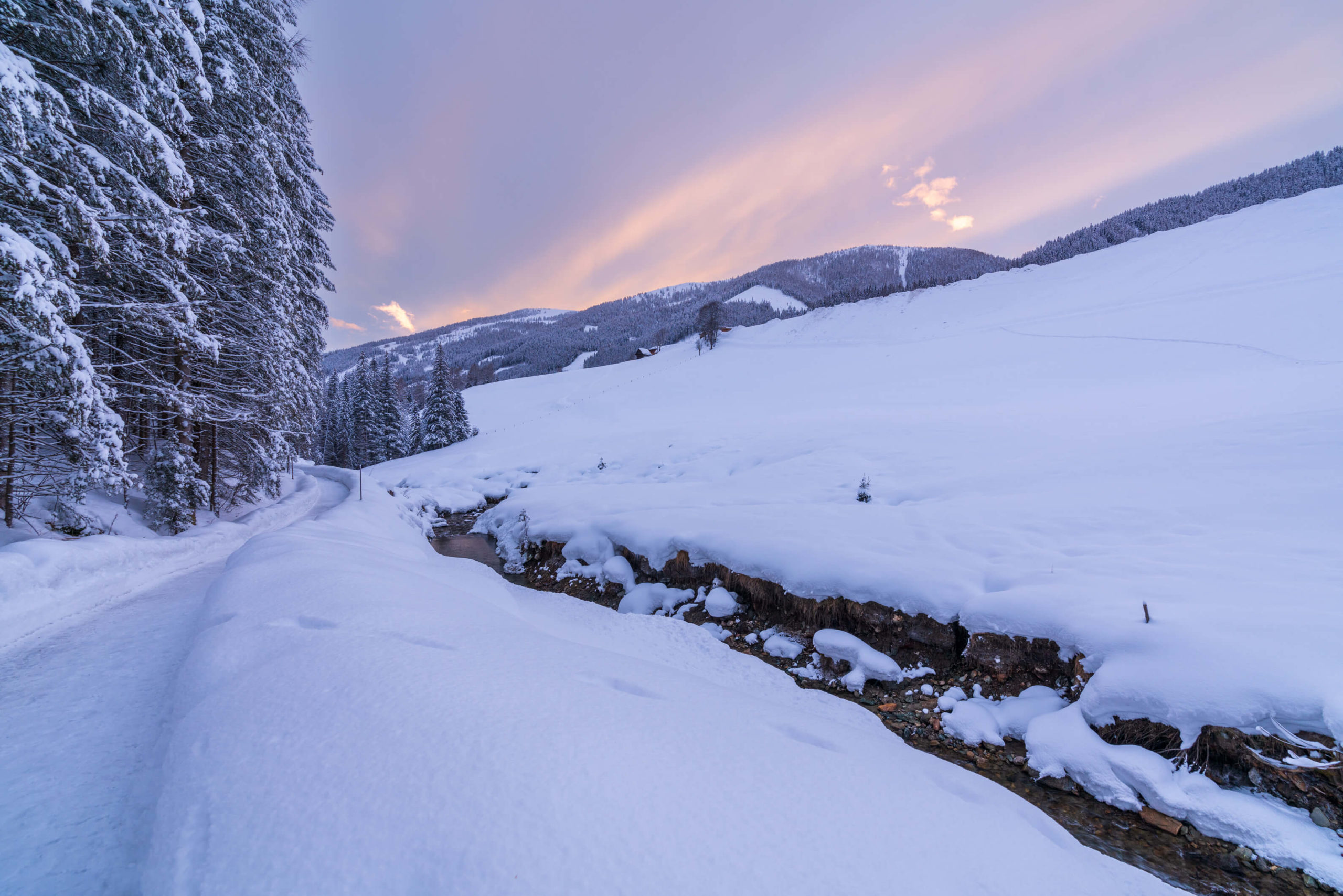
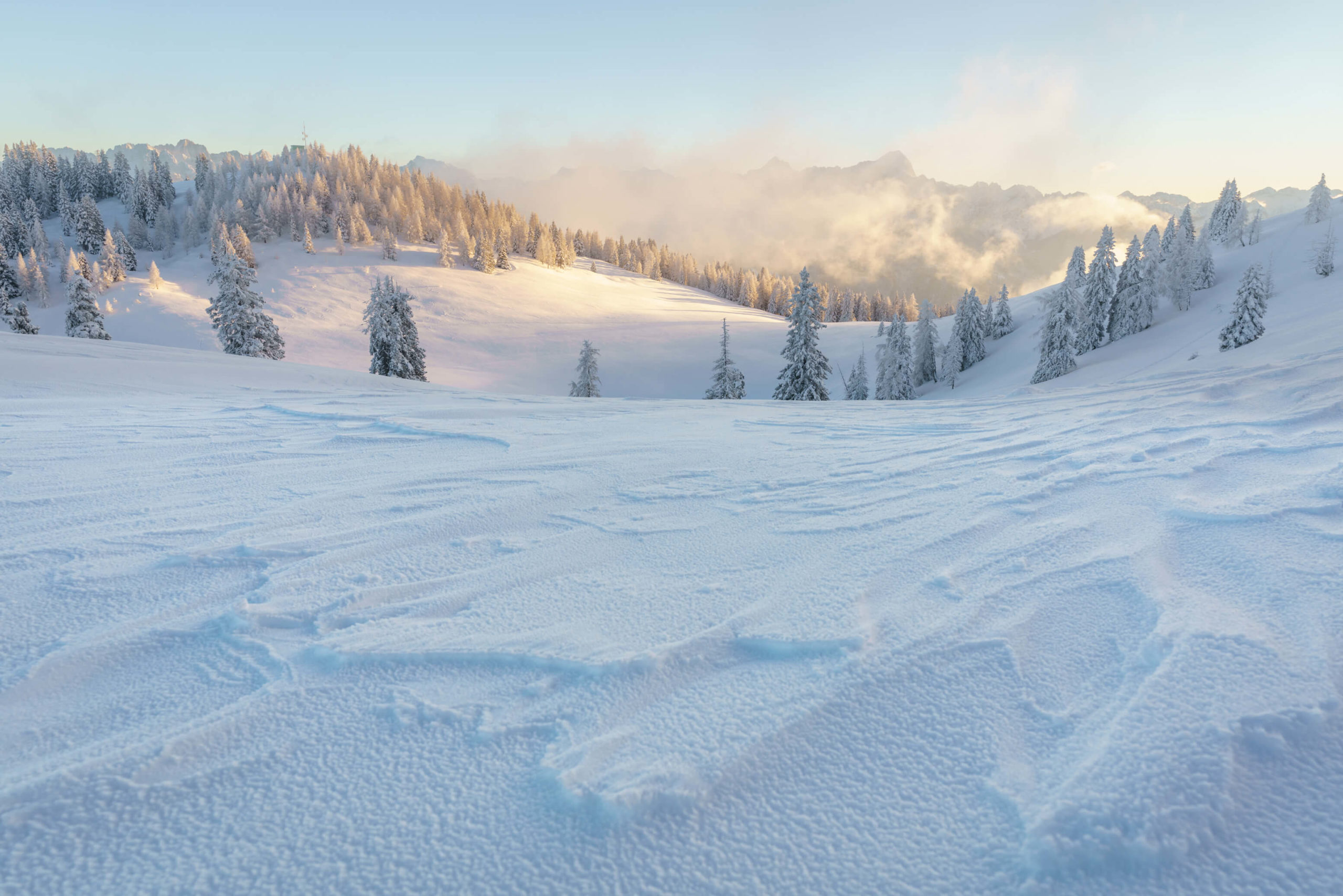
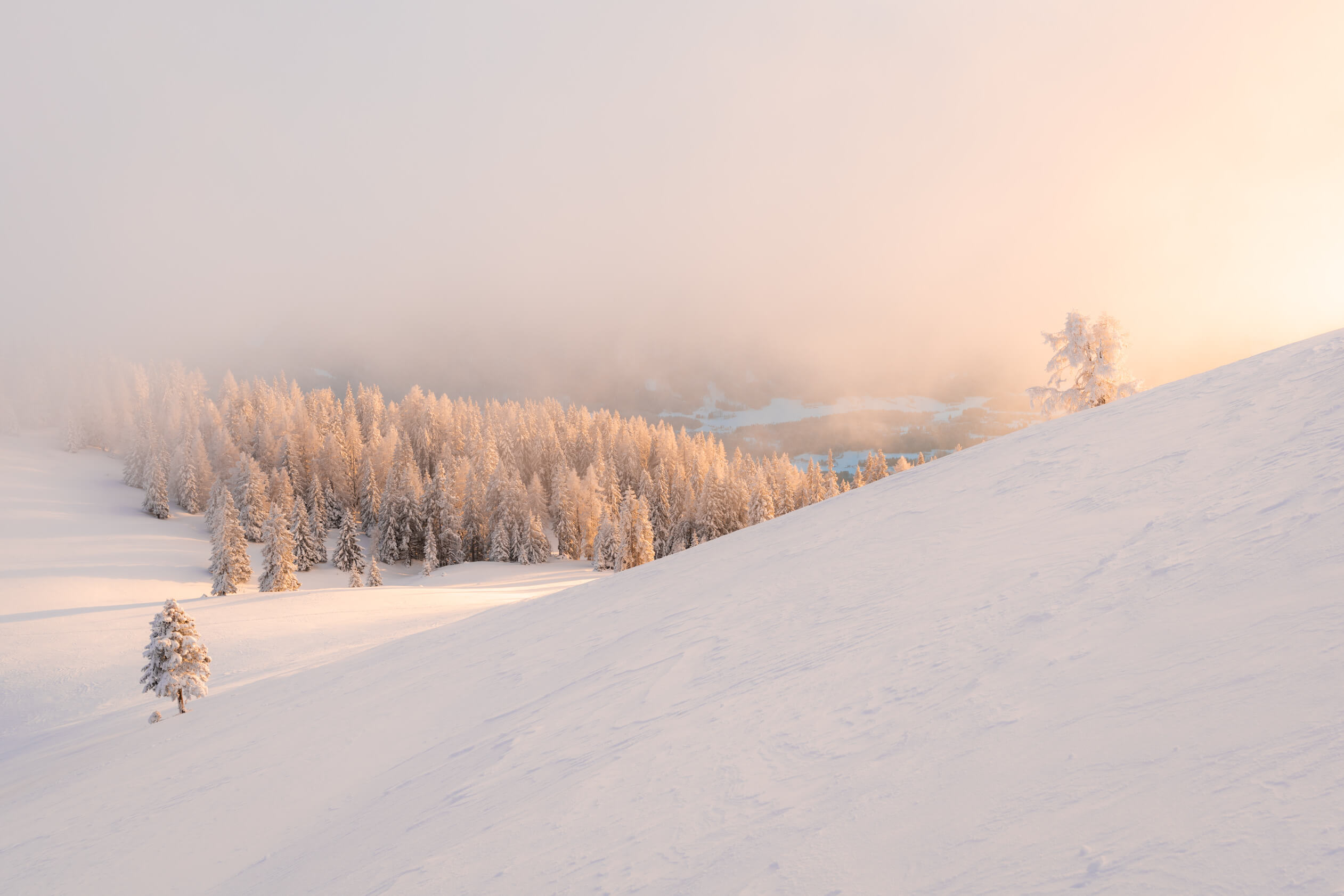
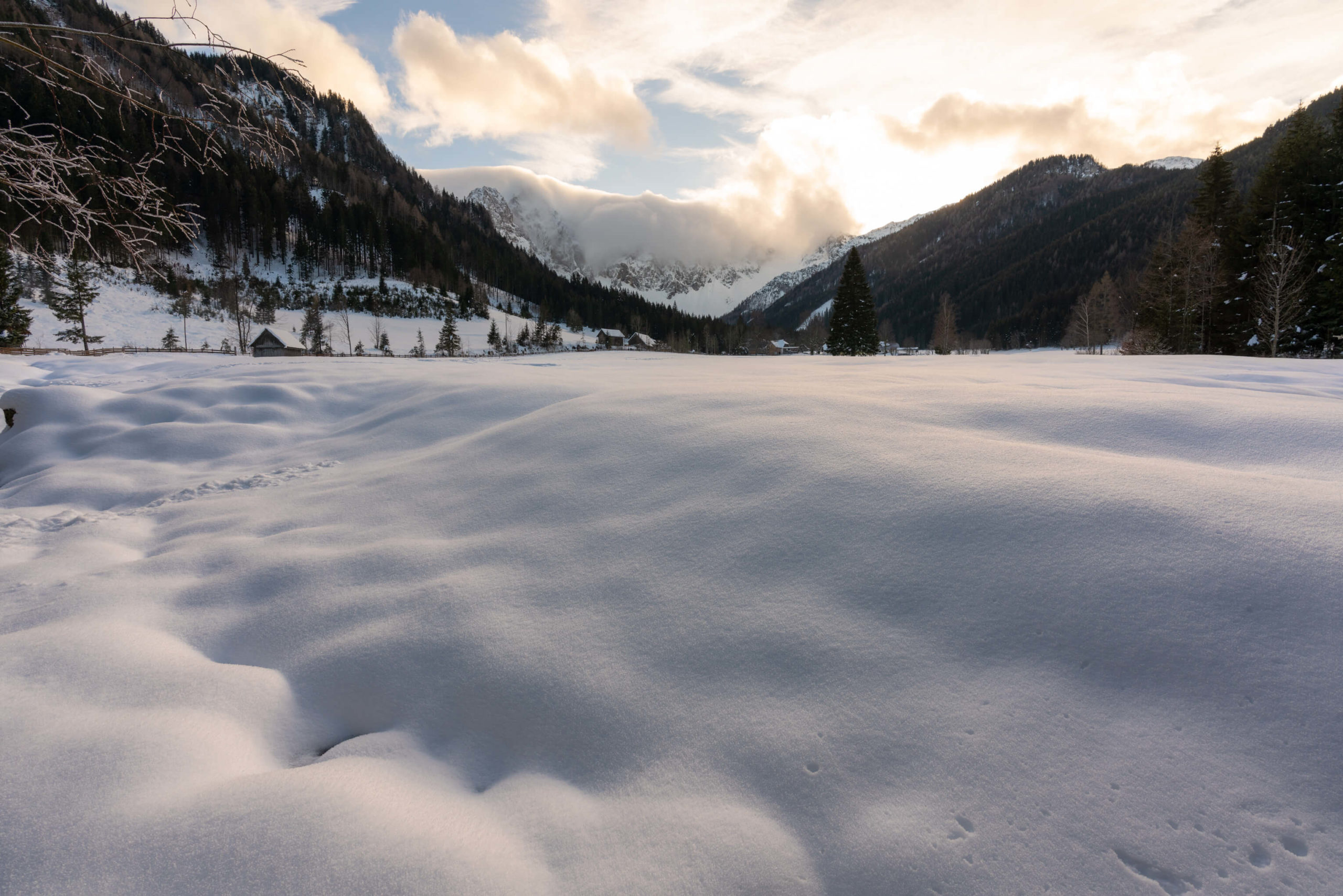
2. Winter walking around Obertilliach, Lesachtal
Quite possibly the snowiest place in Austria. It’s an enchanting valley and one of my favourites in the whole country. It’s a perfect winter paradise. Just watch out for the road closures, it’s precarious driving in the best of times so time your trip properly!

Info
Hike description & GPX:
https://www.osttirol.com/entdecken-und-erleben/winter/winterwandern/detail/winterwanderweg-ralsrunde
Difficulty: Easy
Time: 1 ½ Hours
How to get there: There is a car park in Obertilliach, we didn’t have to pay. There is a bus (965) from Tassenbach which can be accessed by train from Lienz. Use ÖBB to check the times and book. It’s almost a 4 hour journey from Klagenfurt.
Variation: This one is quite a small trail and it’s so beautiful, you will be begging for more. Therefore, take a walk around Obertilliach, it’s super pretty and there is some incredibly old, pretty farm houses. If you still want more, you can head down to the Gail river following this hike. This is the hike we originally started with, from the west of Obertilliach, however, when we reached the Gail, the track turned into a Loipe (cross-country skiing) track and we decided it wasn’t good to walk on anymore. We took a trail heading west from the Gail which led back around to Obertilliach. We havn’t been able to find a GPX trail for this variation, so just follow the first part of this hike to the Gail. The river is really beautiful when surrounded by snow, as seen above!
Kit: No kit necessary here, the trails are cleared by a snow plough.
Description
You might have noticed that technically Obertilliach is not in Carinthia, well it’s just a few kilometres over the border in to East Tirol and just like the Carinthian weather reports on TV include East Tyrol, we too will include this one hike.
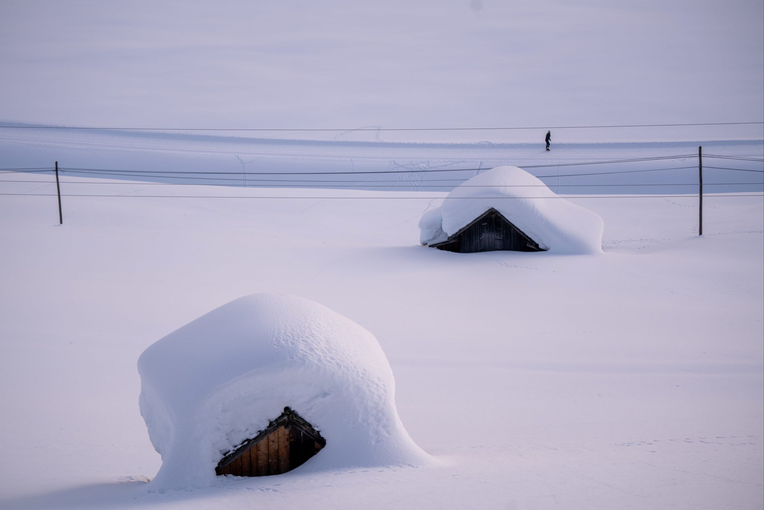
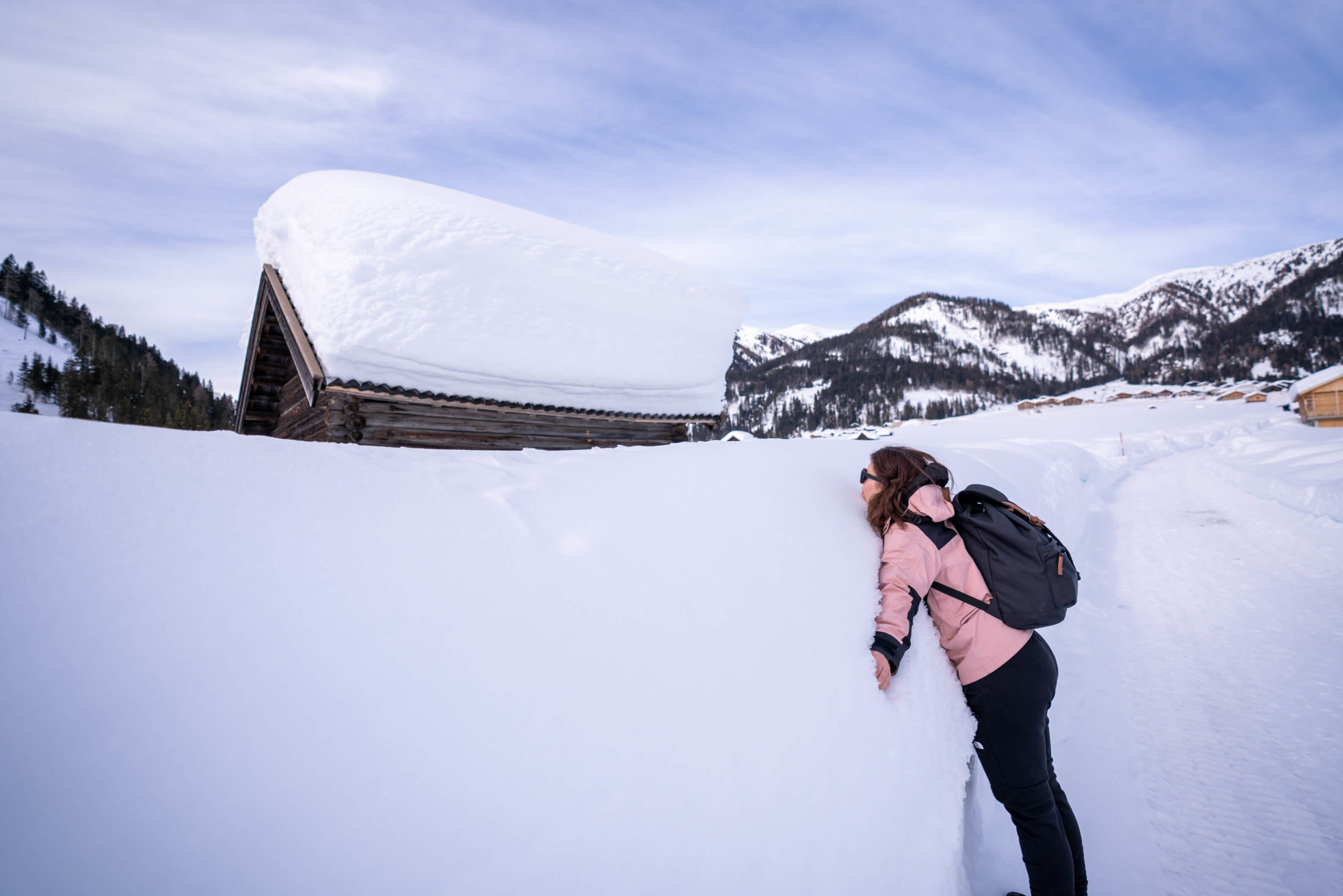
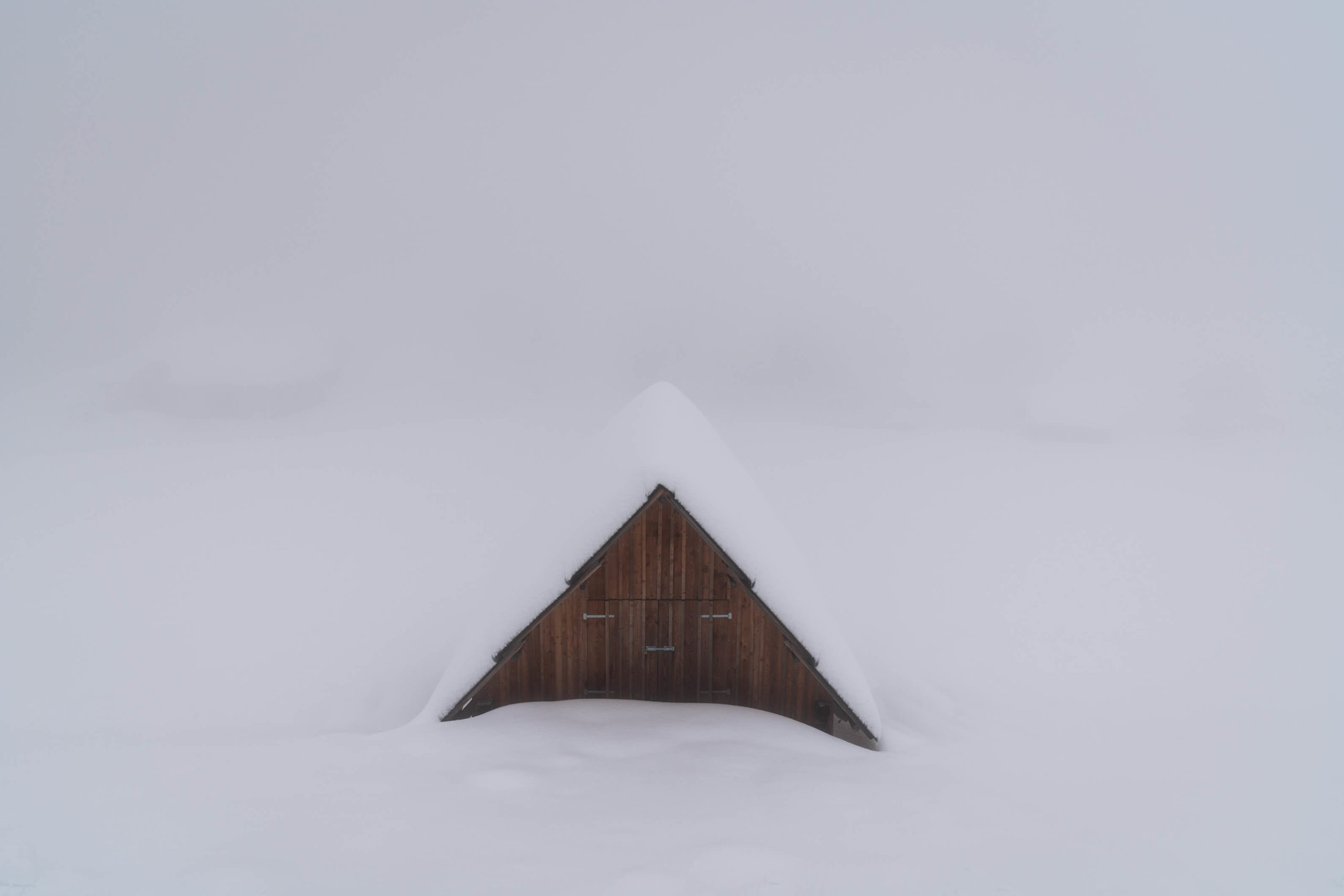
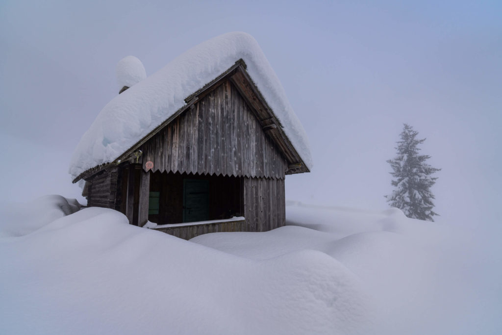
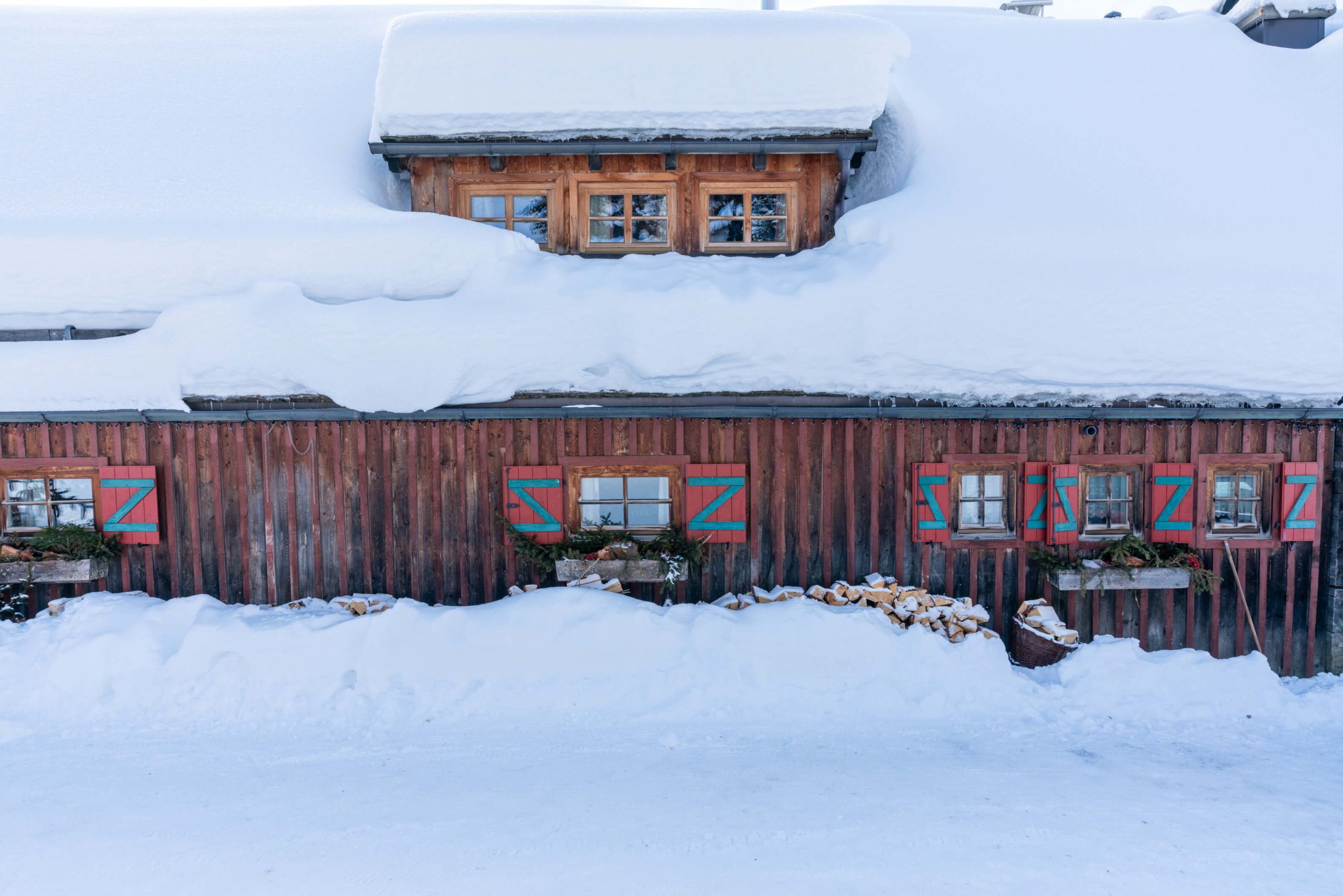
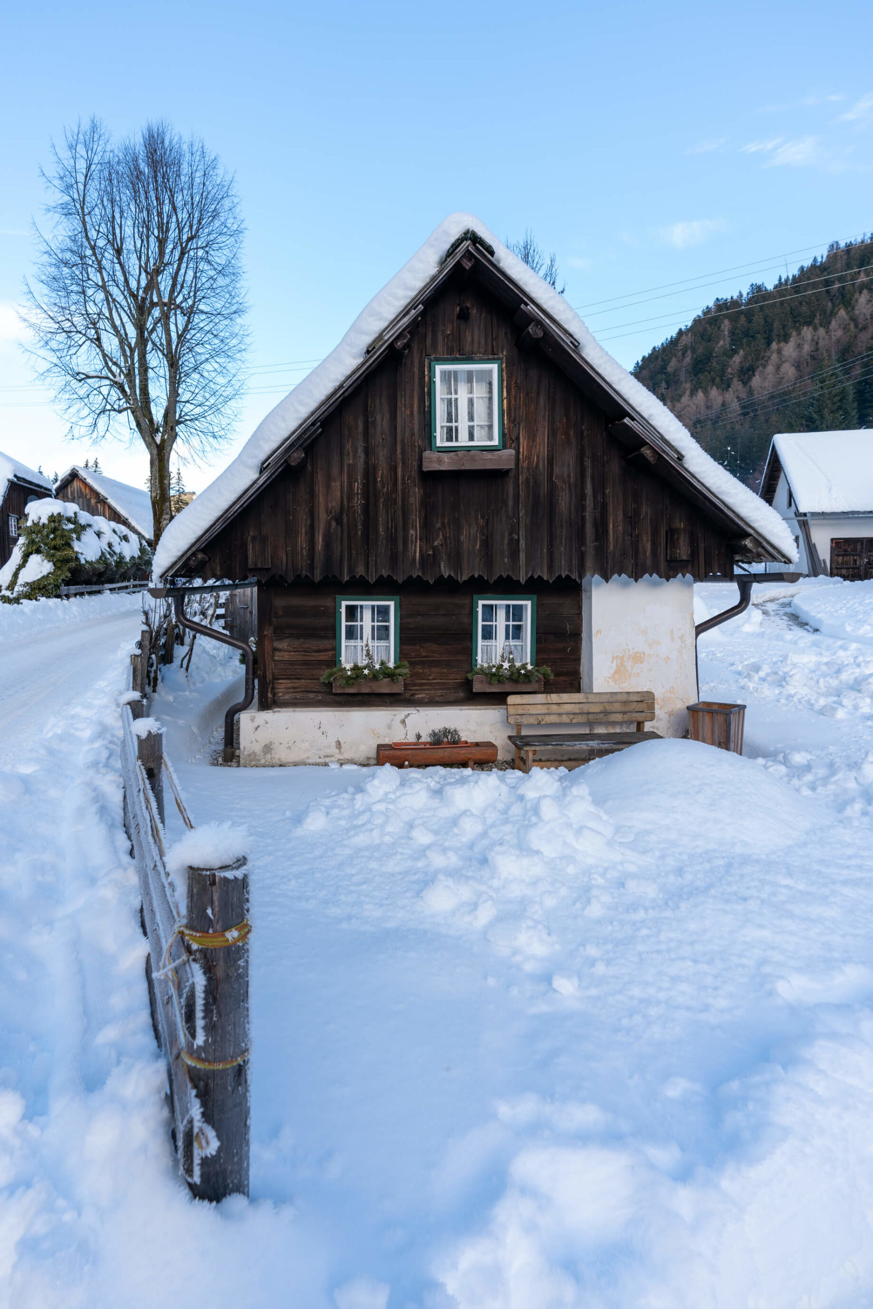
There is not much to describe here, follow the ploughed trails and enjoy the views and the snow, there’s a lot of it. It’s a true winter wonderland, especially when the snow is stacked so high on wooden cabins you wonder how they still stand. Well, not all of them do, just last year, in 2021 a banks roof collapsed in Lesachtal due to the immense pressure of all the snow!
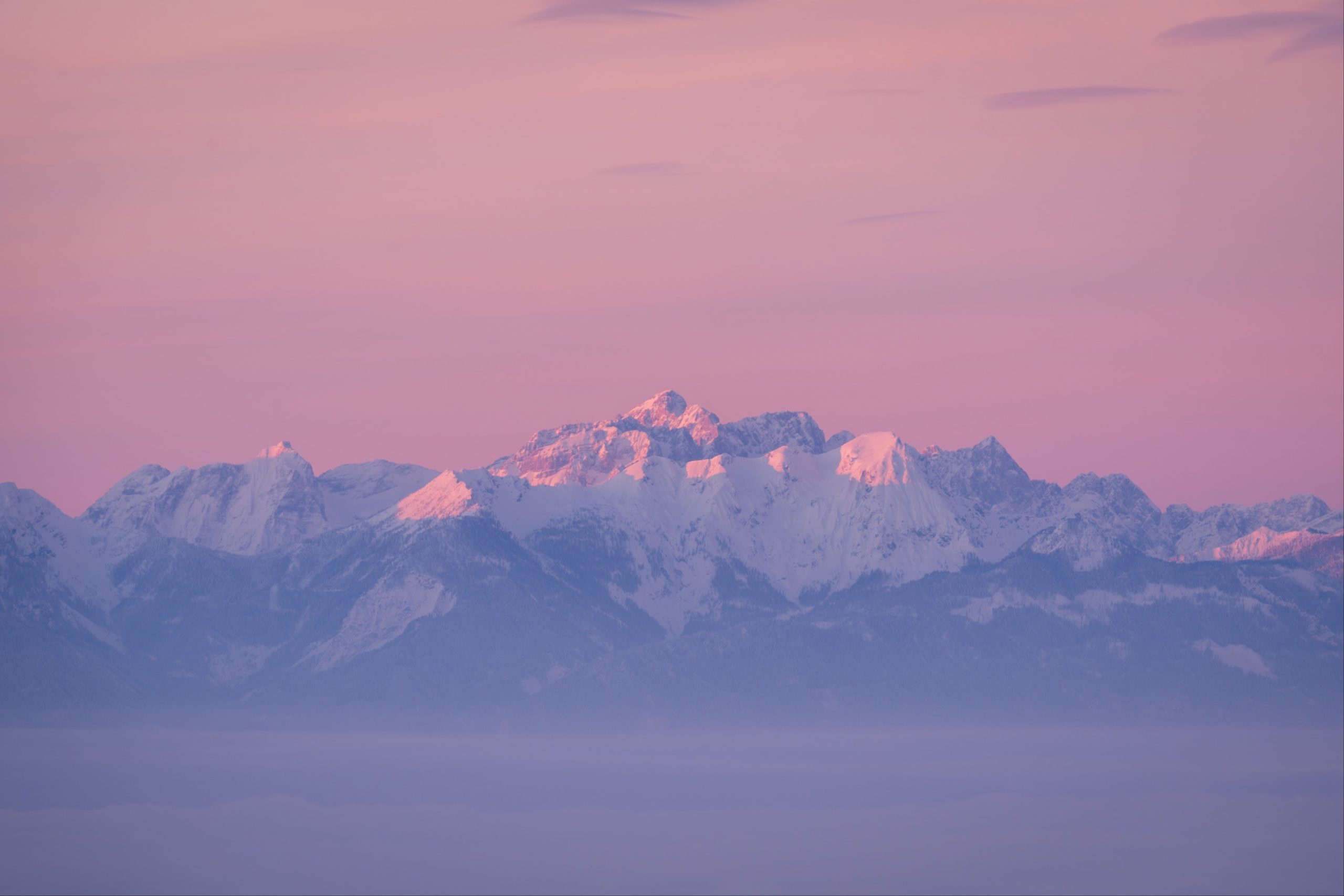
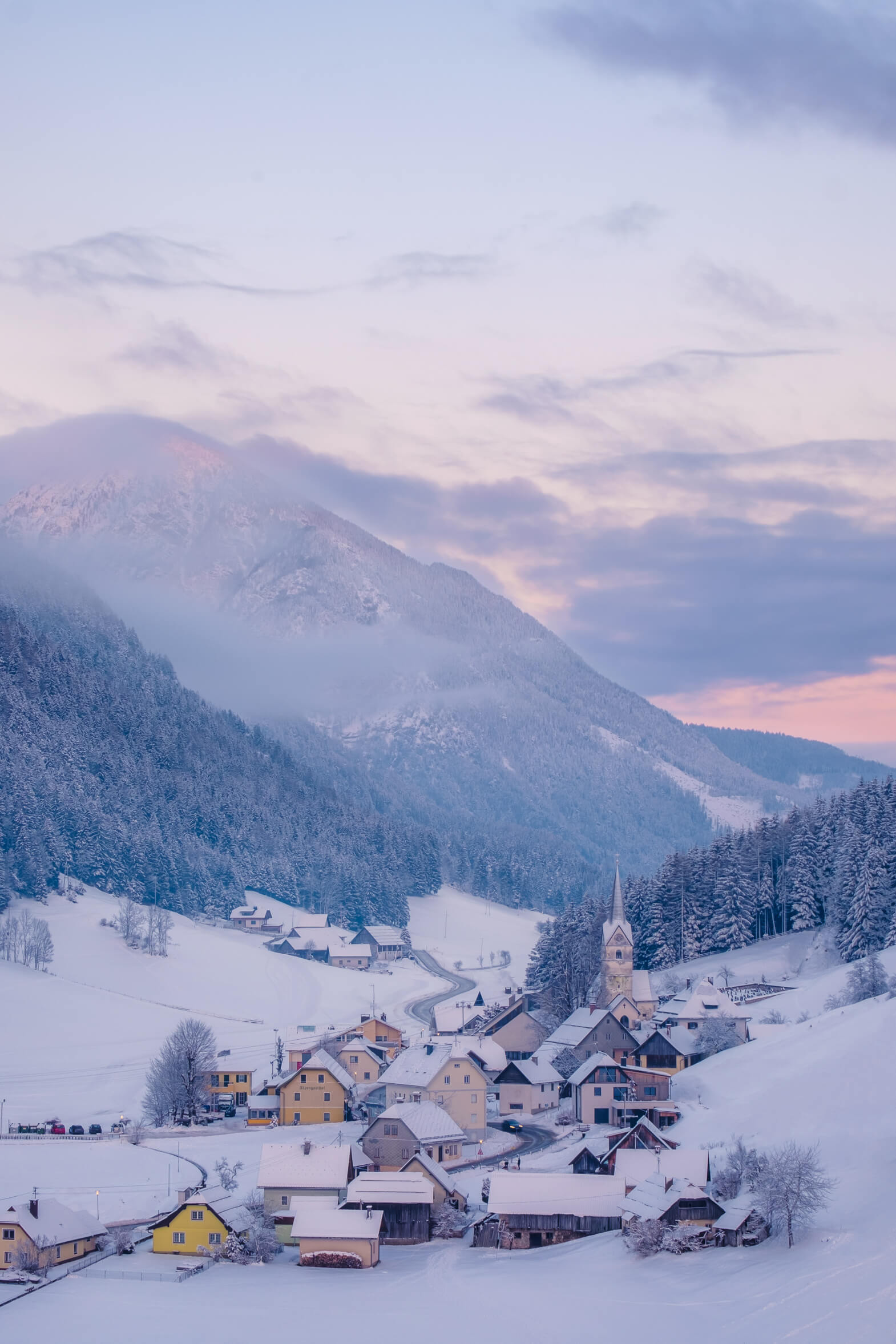
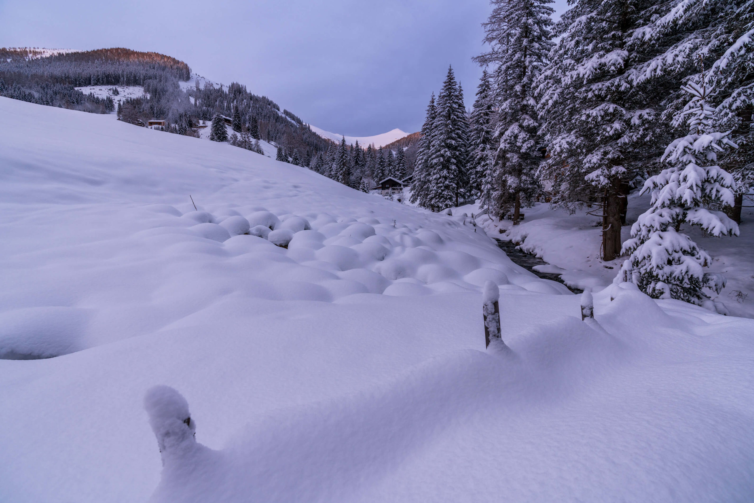
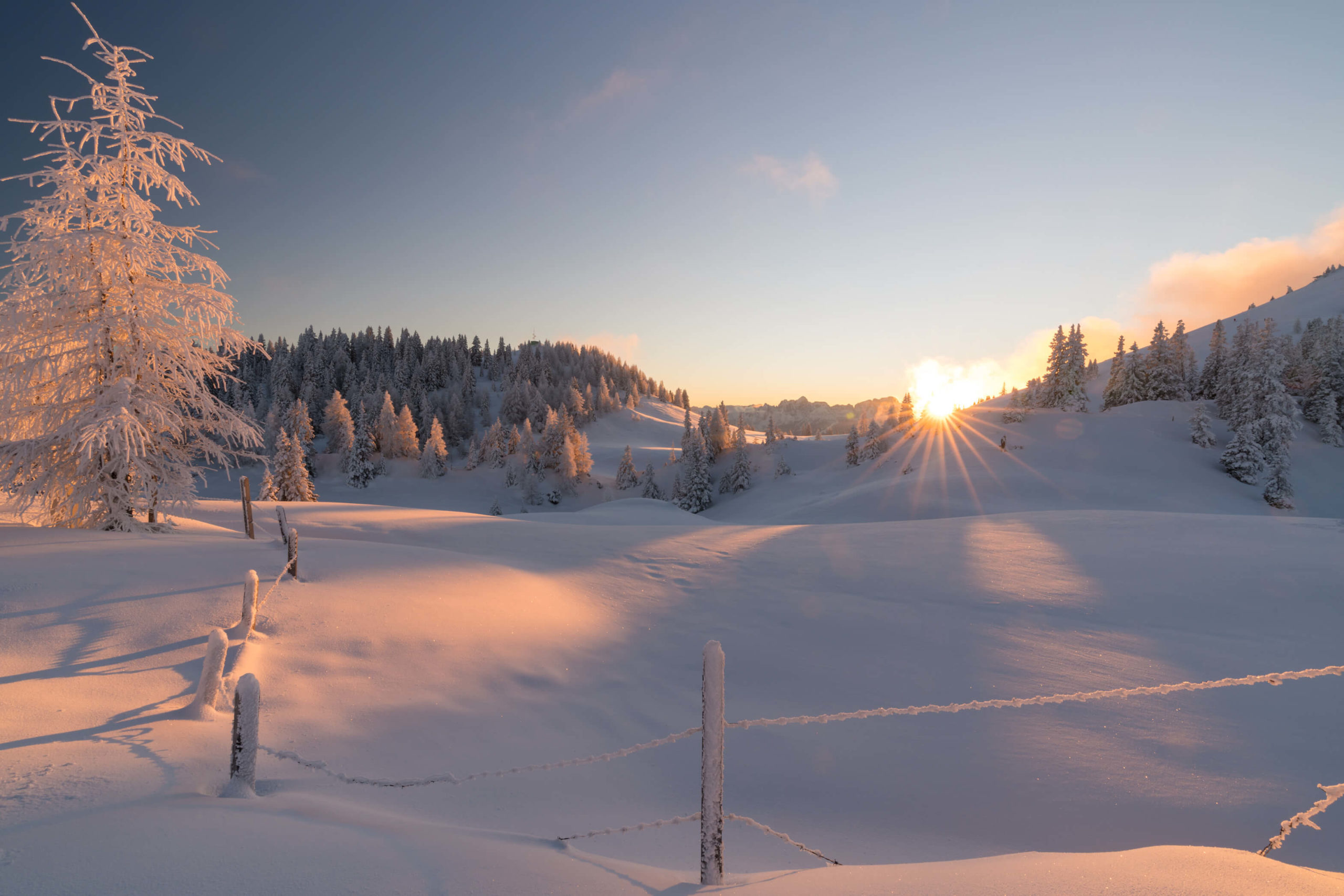
3. Zell Pfarre to Koschutahaus Mountain Hut, Klagenfurt
Welcome to the Karawanken mountains – one of the most interesting mountain ranges in Austria, home to the Carinthian Slovene minority. In the winter it turns into a magical snowy paradise and one of our favourite areas is around the idyllic postcard village of Zell-Pfarre, where you can walk to Koschutahaus and sledge back down!
Info
Hike description & GPX:
The above link is not the exact hike you will do in the winter. This is the non-winter version, which is basically the same except you will stick to the toll road and start where the toll road joins the Waidischer Strasse.
Difficulty: Medium
Time: 3 Hours (there and back)
How to get there: There is a little bit of space to park your car near the start of the trail. For public transport, from Klagenfurt (get there by train) take the bus to Ferlach and then another bus to Zell-Pfarre where you can walk to the trail head. Use ÖBB to check the times and book. It takes about 1hr 20 minutes.
Variation: On the way back down, take a small detour up the hill where the crosses are for a fantastic view (the one above) over Zell-Pfarre.
Kit: No kit necessary here, the trails are cleared by a snow plough belonging to Koschutahaus.
Description
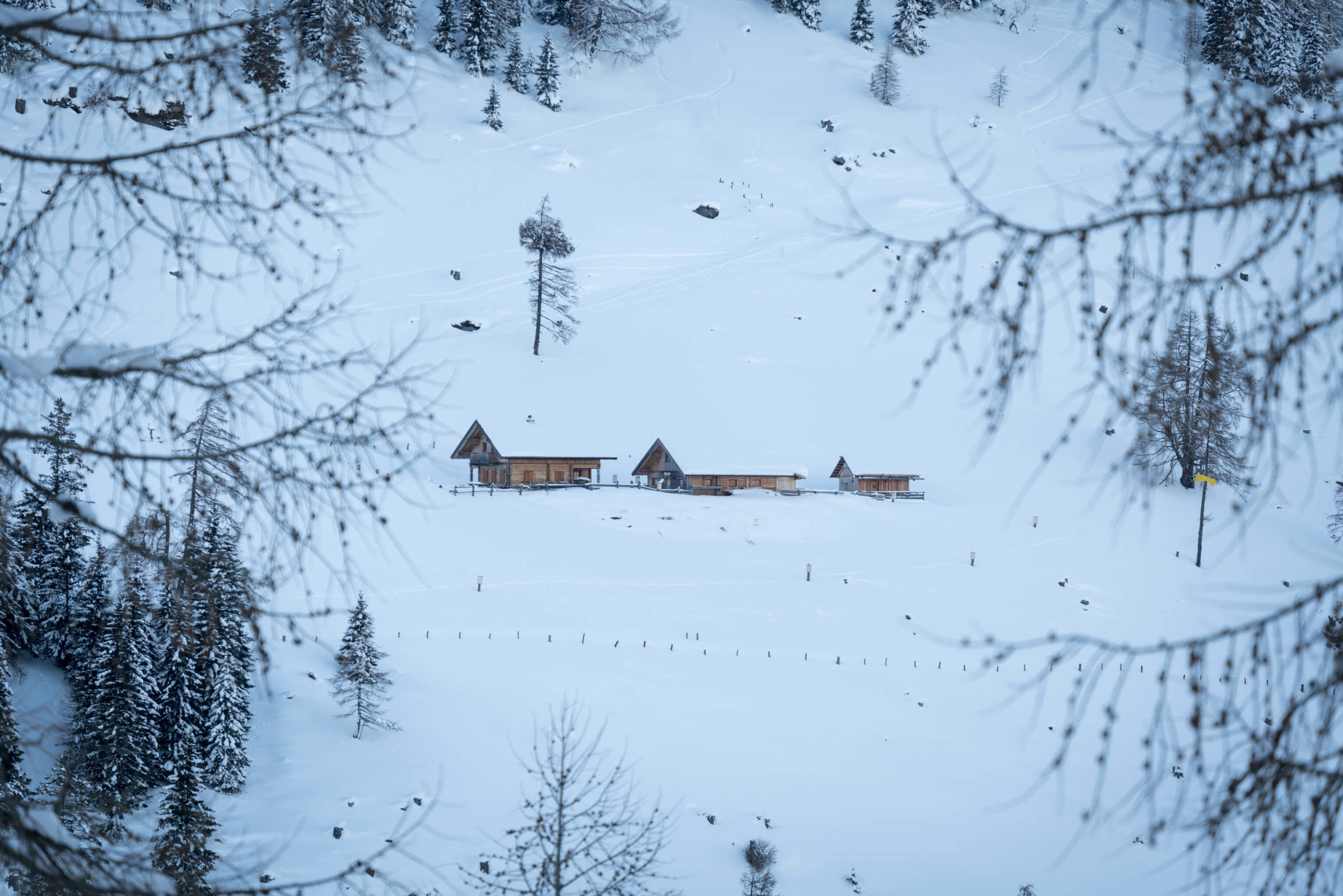
This is a simple hike, with some beautiful views. Start from where the toll road joins the Waidischer Strasse and follow the road to Koschutahaus! The road should be cleared in winter and slowly ascends partly through forests past some lovely waterfalls. After a while you will emerge in the bottom of a valley where you climb around the outside to Koschutahaus. You will most likely be dodging lots of children (and adults) sledging down the road at breakneck speeds. The Koschutahaus is open on the weekends too, so you can grab a drink and some food, and even stop the night.
4. Katschberg Advent Walk
A kitschy Christmas walk through the mountains on the border of Carinthia and Salzburg. It might not be the most adventurous trail, but it’s easy, with nice views and you can warm those hands with a hot drink at one of the cute and festive huts.
Info
Hike description & GPX:
Difficulty: Easy
Time: 3 Hours (there and back)
How to get there: There is a big car park right at the top of the pass. Unfortunately there is no way to get to Katschberg with public transport alone.
Variation: When we hiked the trail, it was cleared for a kilometre or two longer, so you can just continue as far as you can go for more nice views.
Kit: No special kit necessary here, the trails are cleared. Just be sure to wrap up, it can get very cold. Our hair had ice in it!
Description
The most complicated part of this hike is navigating the little ski village and finding your way to the start of the trail. Head for Falkensteiner Hotel Cristallo and from there take the road which heads up and around the mountain. You will walk through a tunnel underneath the ski slopes and then pass a few holiday homes. The proper trail begins just after. From here, you can’t go wrong. There is lots of kitschy stuff along the way and depending on the day you might see horse drawn carriages whisking lovers along the snowy trails. The trail navigates through the forest before opening up in to mountain panoramas where you will find cute wooden huts where you can warm your hands on outdoor fires and drink a glass of hot mulled wine, specifically at Pritzhütte.
This trail is very good for children and families!
More hiking in Austria
Wild and without: 3 day trek in Karwendel Alps – Part 2
The bear categorically does not step in the mountain lodge. So I guess you are wondering what these stepping bears are all about? Well, it’s an Austrian countryside expression for something happening, like to find out where it’s cracking. Wo steppt der Bär?! Where is the bear stepping?! It’s perfect and the idea of bear […]
Powerful Beauty: Exploring Kaprun’s High Mountain Reservoirs
Yesterday was an awesome day of hitchhiking from Salzburg to Kaprun! Check out our account. It was freezing in our tent last night but we are super excited today because we are heading into the mountains to see the Mooserboden alpine dams and reservoirs. Surrounded by snow-capped peaks with incredible turquoise waters, hiking and exploring is the […]
Wild and without signal: Dachstein mountain nightmare
Fasten yourself in for a ride – this is a good one. The events of this post take place over one year ago. The 14th September 2017 to be precise. We had planned to take a cable car to the top of Dachstein (the second highest mountain in the Northern Limestone Alps) and maybe hike […]
Wild and without beer at Grüner See
Grüner See (Green lake, I’ll let you guess why) is a karst lake in Styria, Austria. No one knew it even existed until Ashton Kutcher posted about it on Facebook a few years back. After that, the council had to impose a swimming and diving ban to protect the environment due to the tourist masses. […]
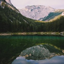
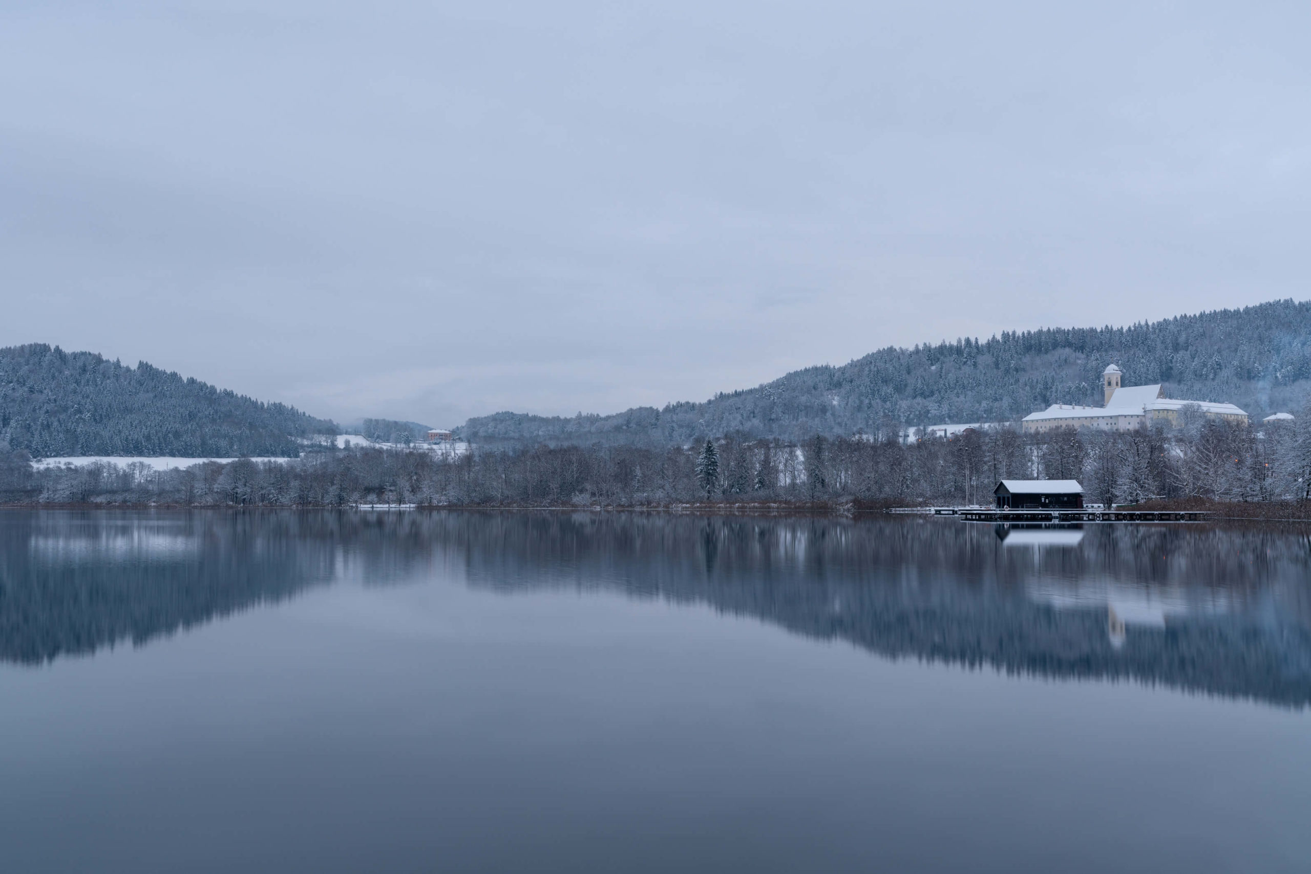
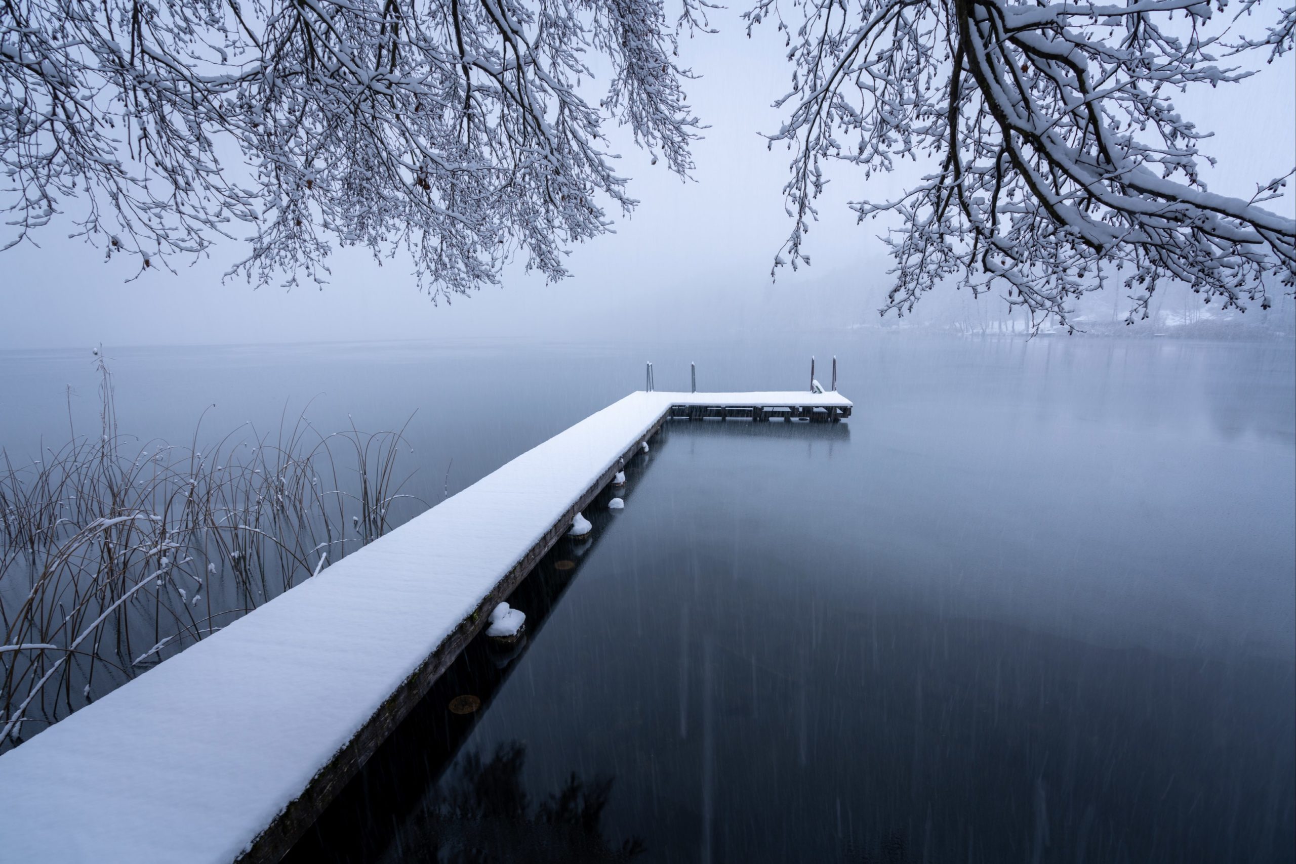
5. Längsee Loop, Sankt Veit an der Glan
In the land of 1000 lakes, it’s easy to lose track of a few. Längsee doesn’t exactly hit any headlines but that doesn’t mean it’s not worth your time. There’s two public beaches, a monastery, fancy castles and gorgeous views of the Karawanken on clear days. In the winter the lake freezes and you can go ice skating and access the beaches for free.
Info
Hike description & GPX:
Difficulty: Easy
Time: 2 Hours
How to get there: There is a car park by the monastery.
Variation: Once you emerge in to Drassendorf on the main road, take a left and walk this portion of the lake, there are some wonderful views of the Karawanken.
Kit: If there’s been a fresh snow fall, you might need snow shoes – some of the roads are not cleared. We walked with our hiking boots and got a bit wet while it was snowing but it’s fairly short walk so you’ll survive!
Description
From the monastery car park head along the road lined with pines, after 15-20 minutes walking you will pass by a farm and palace estate: Rottenstein. It was closed when we passed, but apparently you can marry there and there are stables. Shortly after passing the estate you will enter the forests where you will stay until you emerge in the back of the village Drasendorf. From Drasendorf you will take the road Kirchbergweg to Töplach. Once you reach the main road, cross to the other side and follow the trail. It ascends into a forest before heading back down to the public beach. The final stretch follows the road back to the monastery.
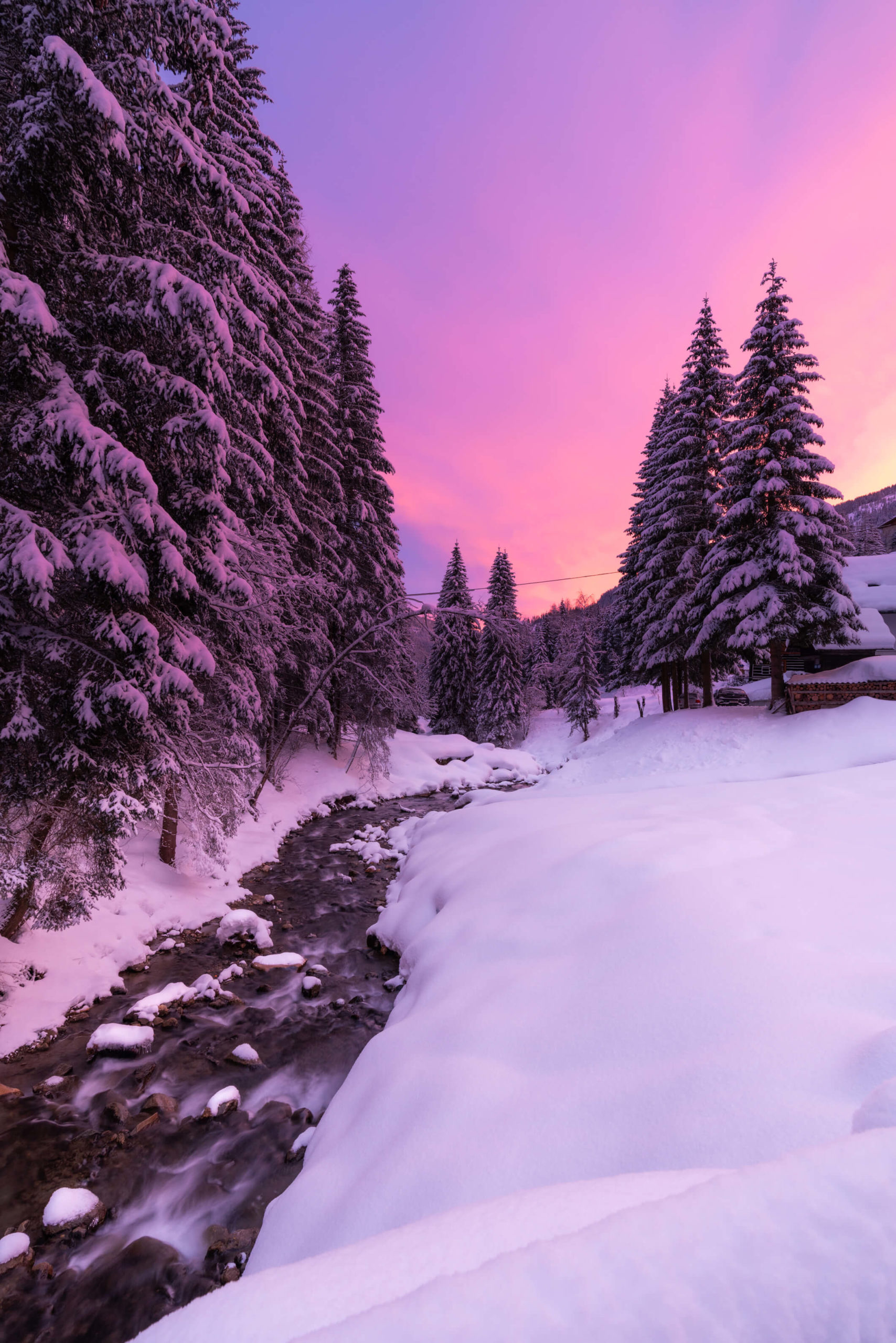
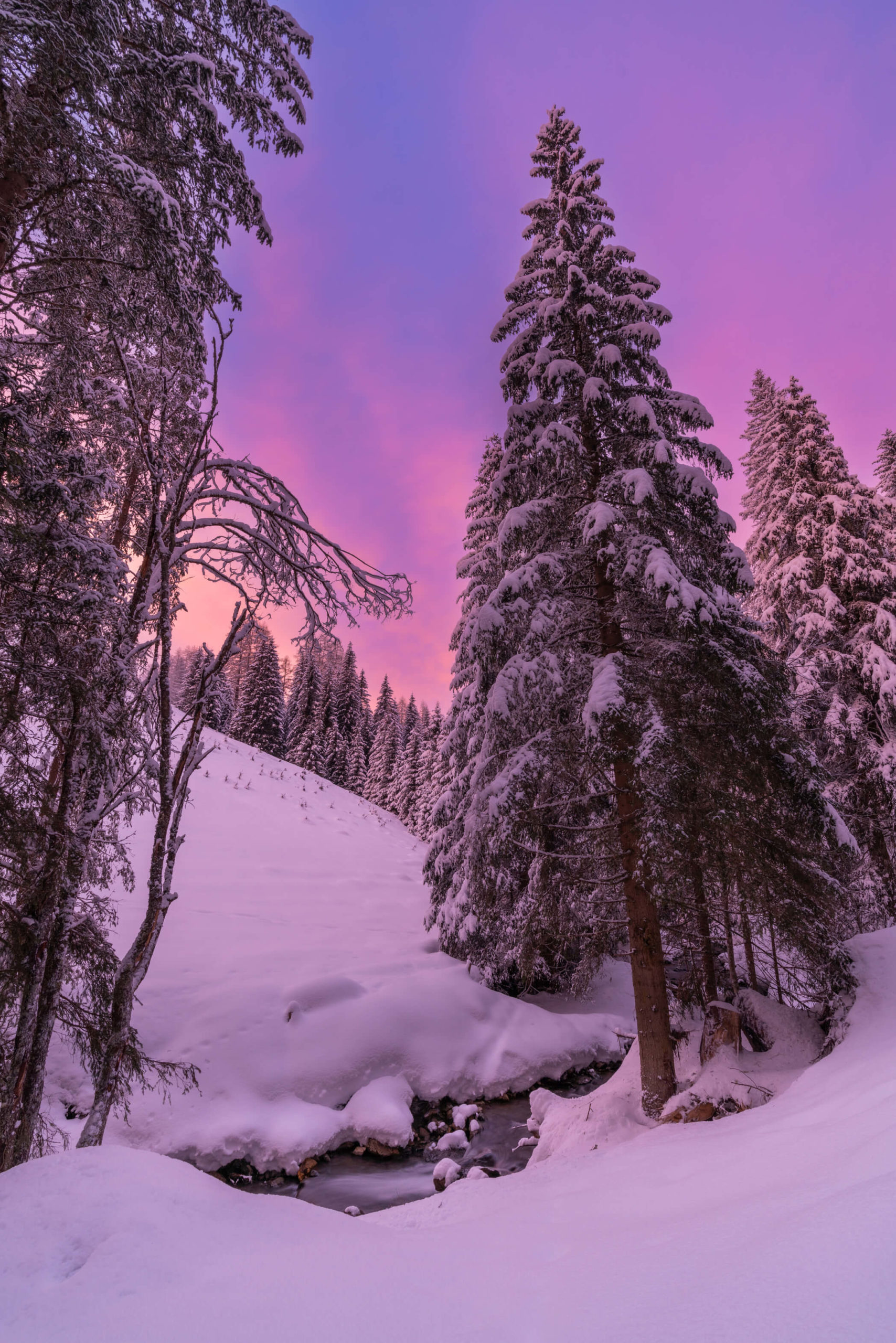
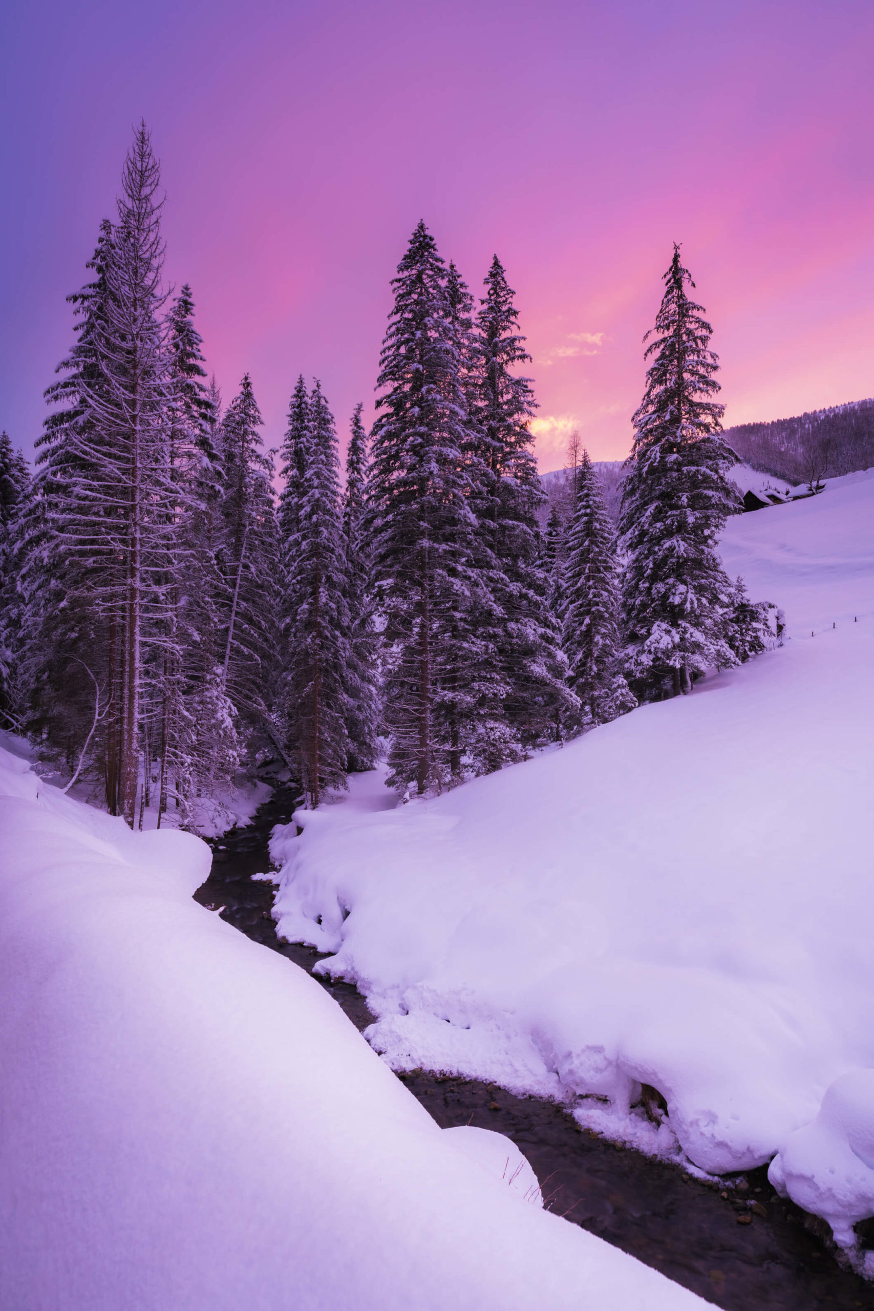
6. Bad Kleinkirchheim St. Oswald Loop, Spittal an der Drau
A magical stroll down a beautiful winter stream with imposing mountains surrounded by lots of cute traditional wooden architecture. There is also the opportunity to climb higher and appreciate the landscape from above.
Info
Hike description & GPX:
Be careful with the hike description because it appears to describe a different route than what the GPX describes. The GPX is the correct route, or at least the route I took.
Difficulty: Medium
Time: 2 ½ Hours
How to get there: There is a car park by the ski lift. You can get there by public transport but you will probably have to take a few buses. First get to Radenthein. There are buses departing from Villach and Spittal an der Drau. Then take the bus number 5144. Some buses go directly to the destination, for some you will have to change to a bus with the same number, but a different direction, in Bad Kleinkichheim. Use ÖBB with a destination of Brunnach Biosphärenparkbahn to get the exact times.
Variation: After you pass the bridge over the Sankt Oswald stream, instead of turning right along the stream, turn left and walk towards Falkerthaus or Lärchenhütte. When I walked, the path was cleared all the way to Lärchenhütte. If you have snow shoes you can go further. Up here there are some nice views of the valley and surrounding mountains. This detour took me around two hours.
Kit: No special kit necessary here, the trails are cleared. Just be sure to wrap up, it can get very cold. Oh, and hiking sticks will absolutely help, the path along the stream was quite icy and slippy at times.
Description
Exit the car park to the north and follow Angerbichlweg downwards past some cute houses and cross the stream. From here you can take the detour I mentioned above. Otherwise turn right and follow the path by the stream. The stream is very beautiful with the surrounding landscape and I witnessed a magnificent pink and purple sunset here.
You will reach a crossroads after you cross a bridge over the stream. Go straight over and follow the path for a short while where it joins the main road into Sankt Oswald. You will see the church of Sankt Oswald across the road. Our path takes us right up a twisting trail through the forest, but before, you should visit the church.
Once you reach the top of the switchbacks, follow the path towards Sankt Oswald. You will join a road where you will turn right on to Brunnachweg, which will lead you to Rosennockstraße and your final destination, the Brunnach Biosphärenparkbahn (car park).
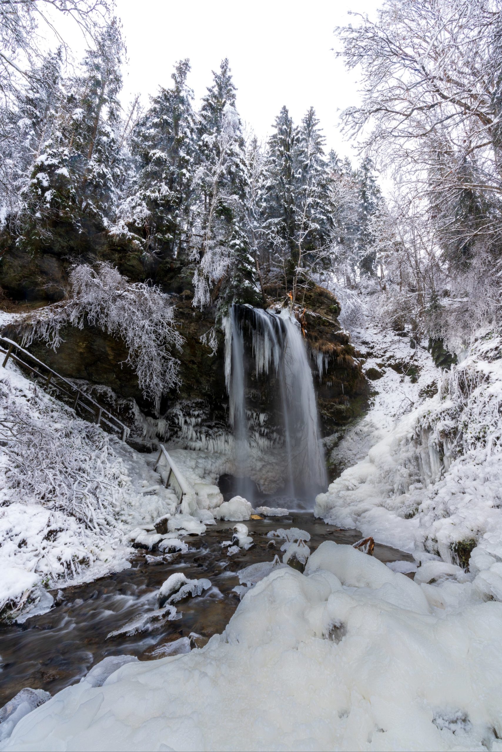
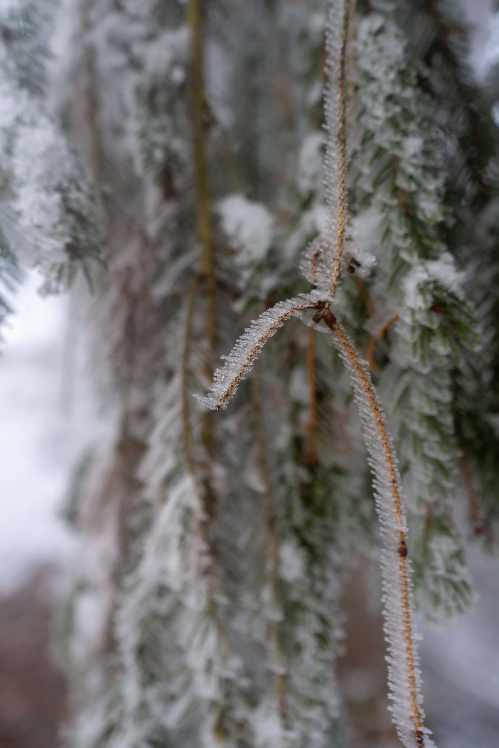
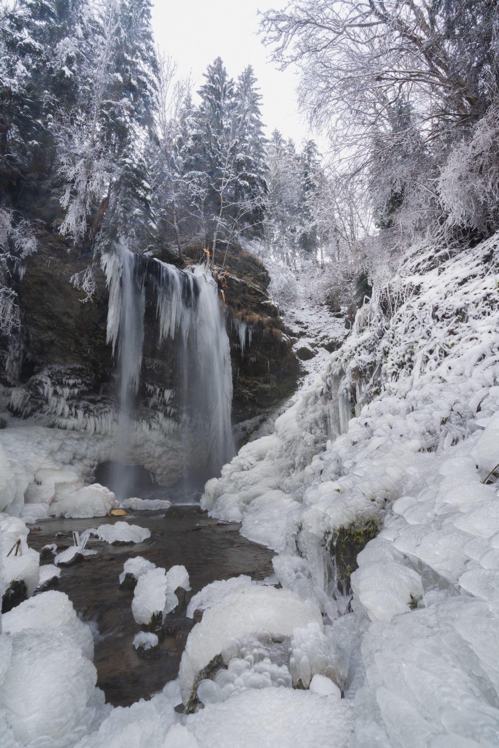
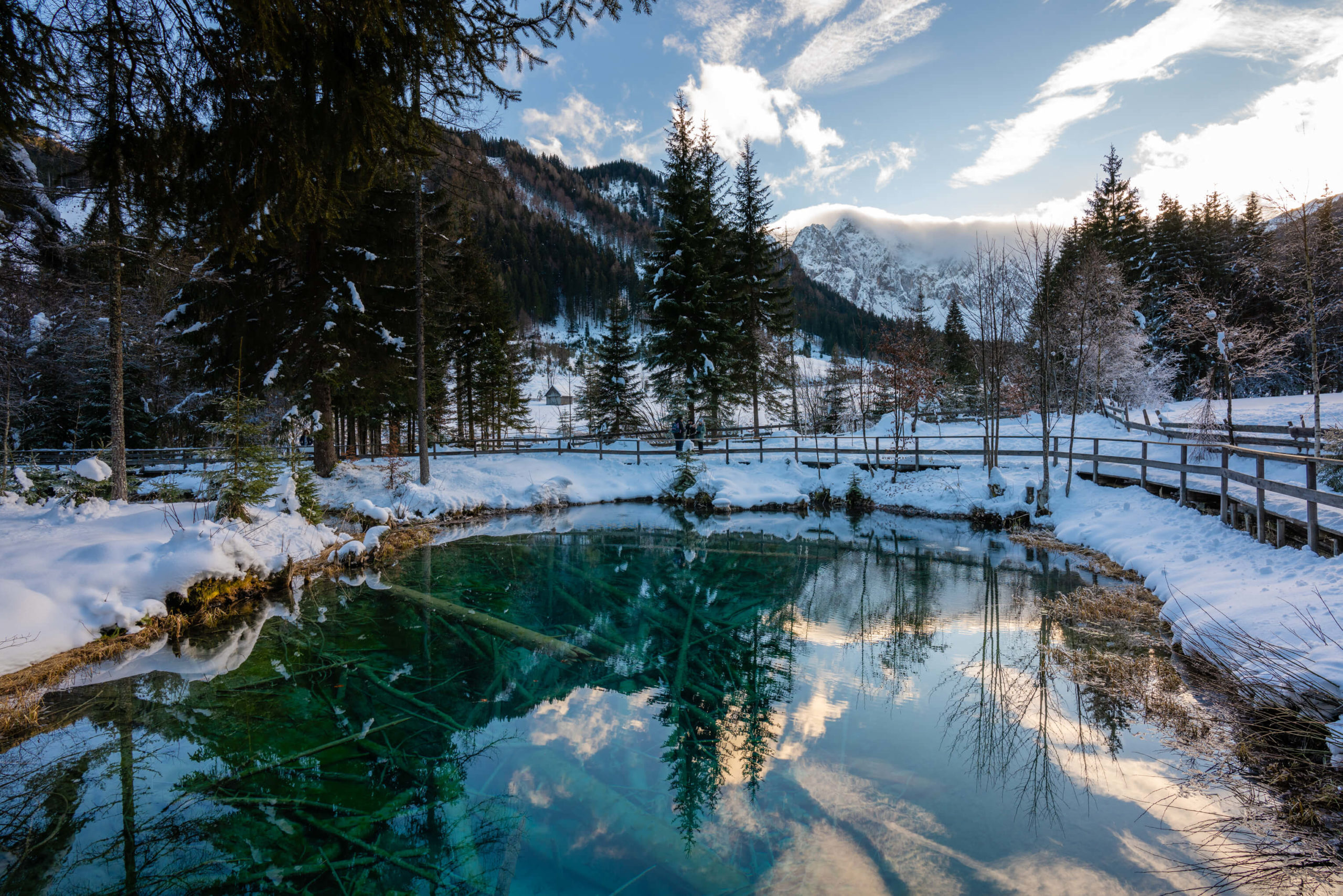
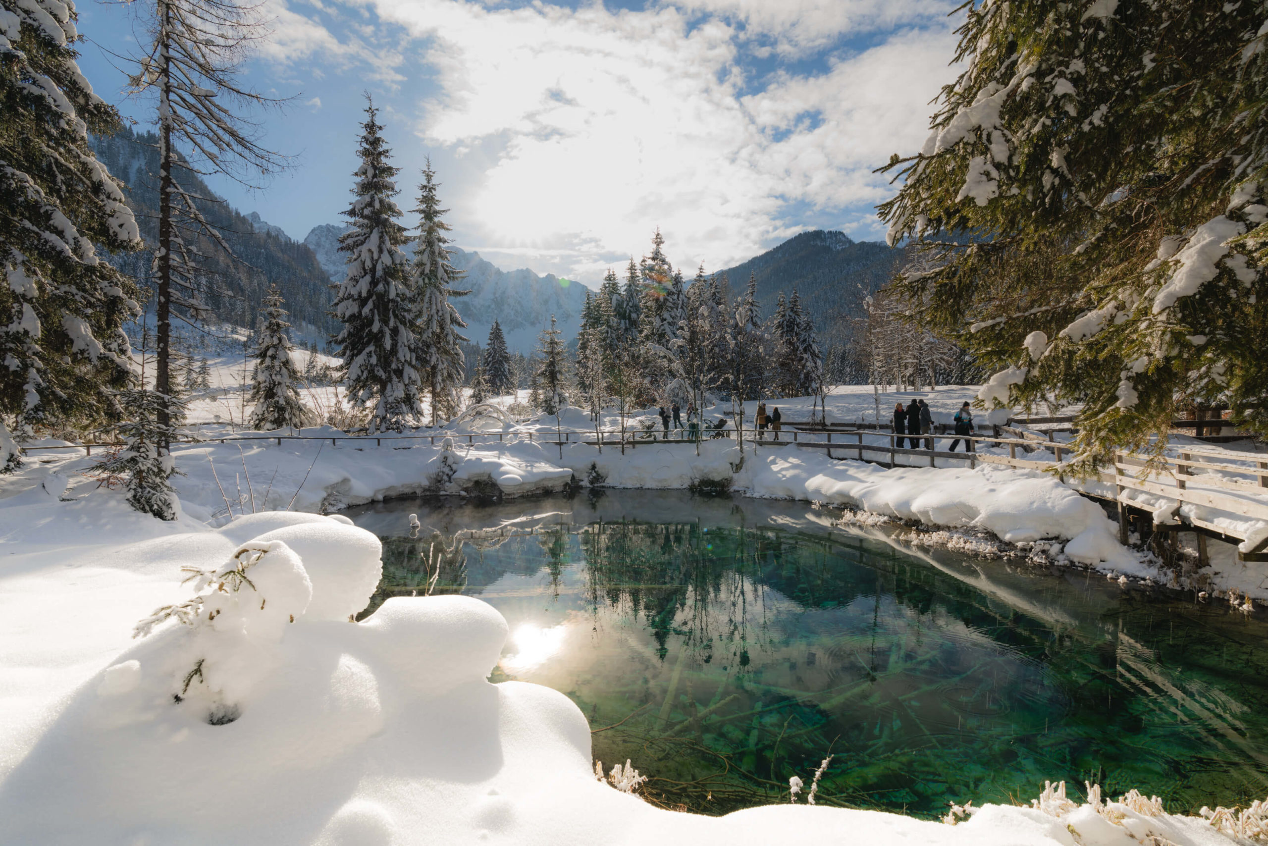
7. Sörg Waterfall Hike, Sankt Veit an der Glan
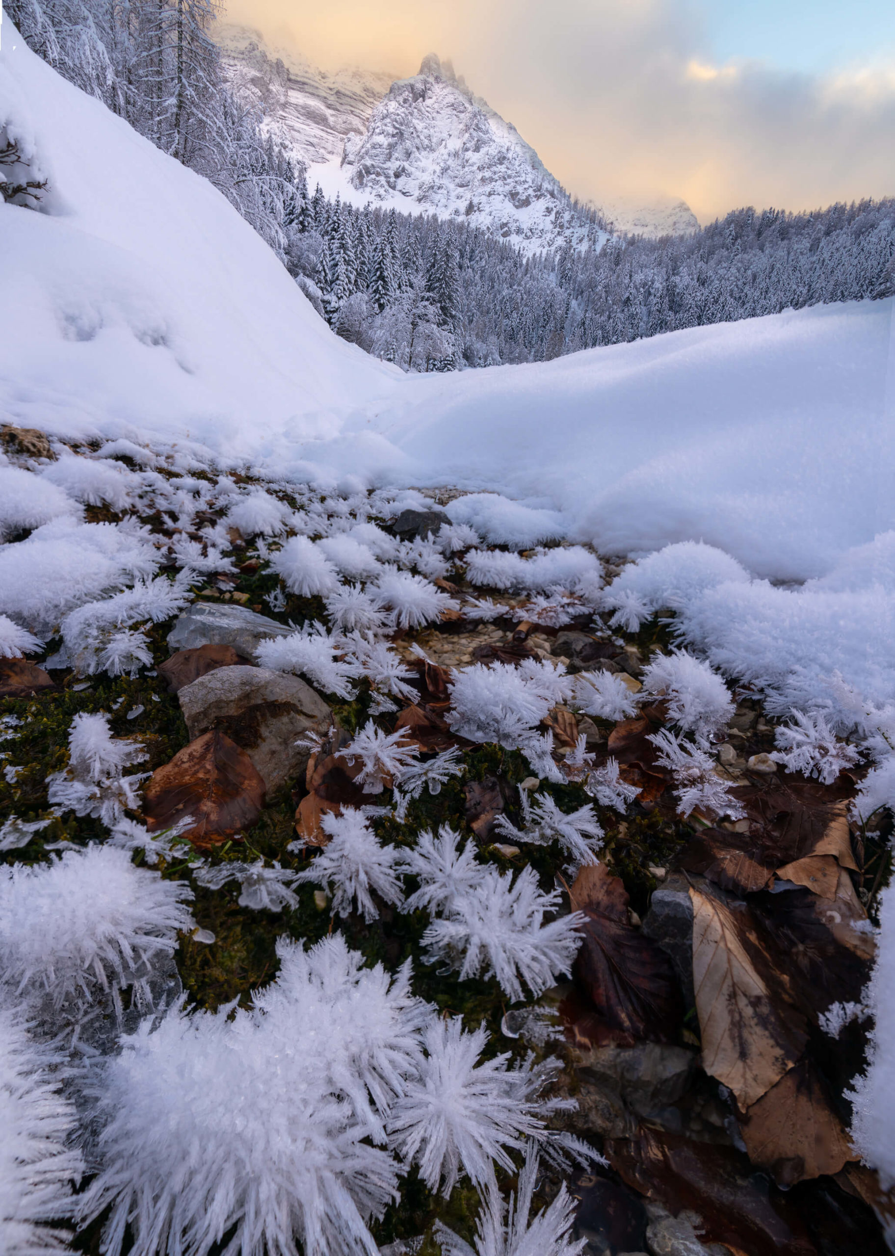
A hidden gem even in the summer, this trail is unforgettable during the winter. The main waterfall almost completely freezes and the whole area is surrounded by alien like ice formations and stalactites. Just be careful because it’s not strictly open in the winter!
Info
Hike description & GPX:
https://www.bergfex.at/sommer/kaernten/touren/wanderung/2163554,abenteuer-wasser-weg/
During the winter it’s not possible to hike past Sörg Waterfall, which should shave a kilometre off of each direction so the hike is more like 6KM, around.
Difficulty: Hard
Time: 3 Hours – It’s much longer in the winter
How to get there: There is a car park at the entrance to the hike.
Variation: On the way back, you can exit the forest at various points and walk on a road back to the start if you wish to finish a bit faster since it will be easier to walk on the road if the waterfall hike is very icy. Here for example.
Kit: You will absolutely need hiking poles and although I didn’t use them, crampons or chains for your boots would be very helpful. It can be extremely slippy.
Description
Starting at the car park head towards the entrance of the forest. Here I should warn you that the hiking path is closed in the winter and it can be very dangerous. A photographer fell from the top of the waterfall and is severely disabled after the fall. In other words, the choice is yours. Please be careful and don’t overestimate your skills. The path is just as beautiful in warmer times.
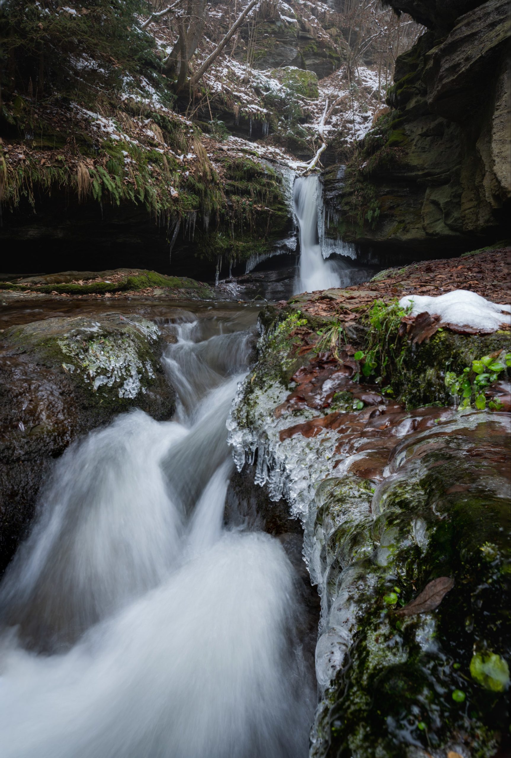
You will walk upwards through the forest and then past a strange kitschy house in a meadow. Back in the forest you will pass various pieces of abandoned mill infrastructure and then climb around some waterfalls, up ladders and over a hanging bridge: all of which are quite precarious when they are covered in ice. The path is steep and you will quickly gain some elevation.
The path continues, crossing the stream various times and you will pass an outdoor art gallery consisting of some sculptures and various other weird things. You will cross to the left side of the stream and slowly climb the hillside until you emerge from the forest and cross the road. Here, the second part begins.
It’s relatively flat at first and then the path begins to climb. You will pass various paths leading down to the stream where you will find other smaller waterfalls. The final stretch leads downwards in to the canyon where Sörg waterfall is found. Be careful, the path can be very icy here, and steep, it’s easy to slip. Don’t attempt to reach the top of the waterfall under any circumstances.
Finally you will reach the waterfall where you can bask in its glory. It was so incredibly icy here I could barely stand. In order to take the above photos I had to crawl on the ice!
Head back the way you came and continue all the way or exit at the road you crossed earlier and follow that to the car park.
Hikes around the world
Black Rock Lake: 3 Day hike from Lagodekhi
Our time in Georgia is coming to an end and while we’re sad, we’ve got big plans for the summer. We are going to drive through Central Asia on the Silk Road with a final destination of Kyrgyzstan. A country not many people have ever heard of. When the summer is over we will head […]
Benagil to Faro: All along the Algarve
It was absolute ordeal getting to the Algarve & Benagil, much more complicated than many other trips we’ve recently made. Like when we hitchhiked all the way across Switzerland on a sightseeing tour. The Portuguese are kind of adverse to the idea of Hitchhiking. Still, we do manage to catch one ride, so all is […]
Wild and without a plan: Mont Blanc
We’ve come all this way through the Alps, from Austria, through Switzerland and now France. Soon we will be leaving behind the mountains for some sun and beach life. We couldn’t possibly head to the coast, leaving the mountains without experiencing the mightiest of them all: Mont Blanc. After all, it was one of the […]
Wild and without a ride: Spiegelsee
It’s cold. It’s raining. Not only is there not a pub open in this god forsaken village, but there is also no traffic in it; understandably I guess. We’re leaving Tragöß and Grüner See for new adventures to Spiegelsee and the surroundings at Schladming. We wave our biker friends good bye as they screech past our […]
8. Dobratsch Summit, Villach
Carinthia’s first protected park and one of its most accessible mountains. There are not many places you can take a leisurely stroll to over 2100M with incredible views of the Karawanken mountains and the Carinthian lakes.
Info
Hike description & GPX:
This is a summer description but the route is the same.
Difficulty: Medium
Time: 3 ½ – 4 Hours – It’s longer in the winter
How to get there: Conveniently there is a road that takes you to Rosstratte car park at 1732M elevation. In the summer it’s a toll road but in the winter it’s free. It’s an incredible drive with many places to park and explore with great views all the way into Slovenia & Italy. The road is 16.5 KM long, climbing up over 1200 metres and starts here. You should have some mountain driving experience if you attempt it, the road is very windy, but in great condition. Failing that there is also a bus, see here for timetables and prices.
Variation: On either direction, up or down, you can take a little detour to a viewing platform on the Jägersteig with wonderful views over the mountains of Italy and Slovenia. You should be able to see the little detour on one of the switchbacks near the beginning of the hike.
Kit: You might need snow shoes – we have been a few times and the snow was always easy to walk on and appeared to be cleared, but we can’t say for sure if it’s always like that. The trail is used as a sledging track so it probably is cleared.
Description
You can’t go wrong on this trail – from the car park follow the trail towards the peak and just keep following it all the way to the cross and summit at 2166 metres high. The trail is always very busy and you will be dodging children, sledges and skiers hopping over the trails, but it’s great fun. For how high you are, it feels very safe. The path is easy to follow and although you will gain some elevation (just over 400M) it doesn’t feel so strenuous, since it’s basically a road all the way to the summit.
At the top you will find two churches, the prominent German church and, slightly hidden over a cliff, the Slovenian church, both claiming the title of the highest church in the Eastern Alps. There is also a summit house where you can grab some food and a hot drink to warm up from the cold.
Finally, be aware of the weather, it can be extreme up there. For instance, we experienced some savage winds which made the temperature feel 20 degrees less than what it actually was!
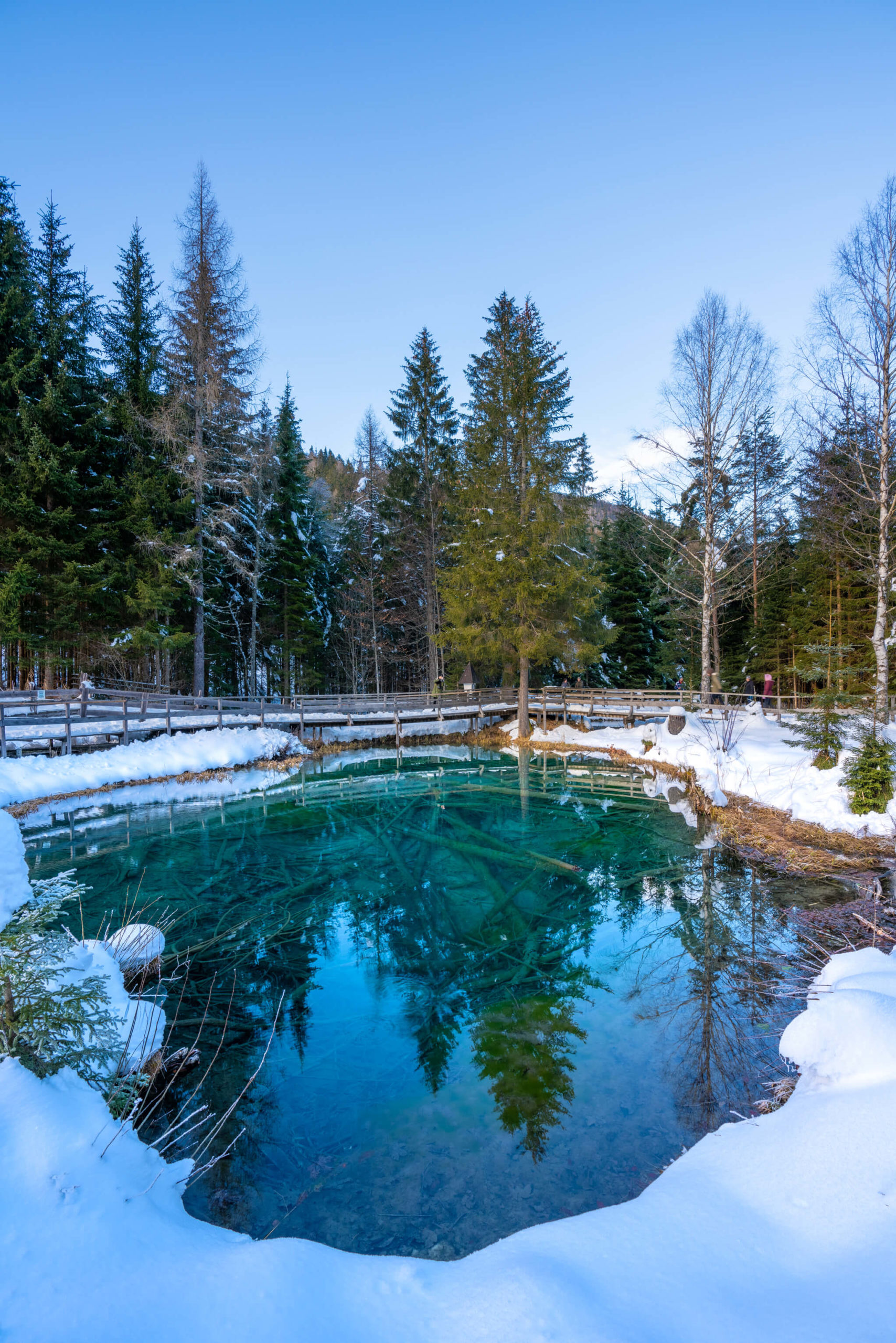
9. Bodental & Meerauge, Klagenfurt
The Disney World of Carinthia – It’s always very busy and in our experience you will find lots of obnoxious people there, but the beauty of the dazzling Meerauge makes a visit to Bodental unforgettable.
Info
Hike description & GPX: There is no GPX trail for this little walk. It’s very straight forward.
Difficulty: Easy
Time: 2 Hours
How to get there: Park here – don’t drive all the way to Meerauge, the road is small, icy and many people walk there. The valley gets so clogged up with cars – please walk and don’t be lazy. It’s also possible to access via bus from Ferlach, which can be reached by another bus from Klagenfurt. Use ÖBB with a destination of Bodental Gh Sereinig. It takes around 50 minutes from Klagenfurt.
Variation: The walk is very short – you can try a longer variation to Märchenwiese with this trail. We didn’t have much luck as the trail was being used as a Loipe. The road ended at Gasthaus Bodenbauer – Podnar – we attempted to go further, as the sign stated it was possible, but we got shouted at by some obnoxious Loipe dude.
Kit: It’s basically road all the way to Meerauge, you don’t need any special kit.
Description
From the car park head south around the little ski area towards peaks on the border to Slovenia. The path will join with the road and from there, walk on the road for just over a kilometre. After that, you will see a little car parking area and then a path that heads in to the forest on the right hand side. Walk through the forest for about 100 metres and then you will find the beautiful turquoise lake in the middle of the forest. Head back the way you came or go further using the variation.
10. Diex Panorama Loop, Völkermarkt
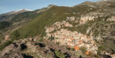
The sunniest town in Carinthia – no other place receives as much sunlight! This is a technically easy hike along sparsely used roads, with incredible views of the Karawanken and the pretty alpine village of Diex.
Info
Hike description & GPX:
https://www.bergfex.at/sommer/kaernten/touren/wanderung/907704,panoramaweg-diex/
Difficulty: Medium
Time: 3 ½ Hours
How to get there: Diex can be accessed via the bus 5430 from Völkermarkt, a well-connected town in Carinthia. Use ÖBB to check the times and prices. However, you can also drive up, but you should have some mountain driving experience, from Brückl direction the road is quite narrow, winding and steep and it’s not in great condition although it was being repaved the last time we visited. Finally, you can park in Diex, we parked in the School carpark (on the weekend).
Variation: Check out the beautiful fortified church of Diex.
Kit: You shouldn’t need any special kit as the trail follows the road.
Description
We didn’t actually do this hike in the winter, we did it in late summer. However, it can be done in the winter as the hike just follows the road through the villages around Diex. Since Diex is quite high up at 1160M, impressive views of the Karawanken can be found throughout the hike.
From Diex, take the lower road and follow it all the way to Grafenbach, where you will find some pretty buildings and another fortified church. From Grafenbach take the road to Diex which climbs up through the forest to the highest point of 1317M, where the view opens up over Diex and the Karawanken. Follow the road back down to Diex.
We hope you enjoyed this curated list of our favourite winter hikes in Carinthia – they might not be the most demanding but they certainly pack a punch when it comes to natural beauty, and well, depending on the weather you might just get some added surprises, like we did with the extreme cold and wind on Katschberg & Dobratsch.
Make sure to check our part two of our winter hiking guide for Carinthia!
Pin it!
You Might Also Like